


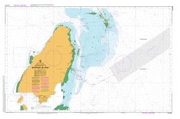
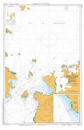
PNG554 Papua New Guinea – New Britain – New Ireland – Cape St George to Rabaul
₱3,000.00
Reference: PNG 554
POD (Print On Demand)
| Chart Number | Aus554 |
| Title | Papua New Guinea – New Britain – New Ireland – Cape St George to Rabaul |
| Geog Location | Australia |
| North Lat | 3 44.70 S |
| South Lat | 5 09.50 S |
| East Long | 152 56.00 E |
| West Long | 152 02.60 E |
| Scale | 1:150000 |
| Projection | mercator |
| Edition Date | 02-Feb-2007 |
| Edition Number | 1 |
Be the first to review “PNG554 Papua New Guinea – New Britain – New Ireland – Cape St George to Rabaul”
Related products


Australian Charts
Aus60 Australian Nautical Chart Port of Dampier (Southern Sheet)
₱3,000.00

Australian Charts
Aus14 Australian Nautical Chart Groote Eylandt Approaches to Milner Bay
₱3,000.00

Out of stock
Australian Charts
Aus28 Australian Nautical Chart Port Darwin East Arm – WITHDRAWN
Reviews
There are no reviews yet.