Paper Charts
MORBAI CHARTS/MAPS & MARITIME SUPPLIES
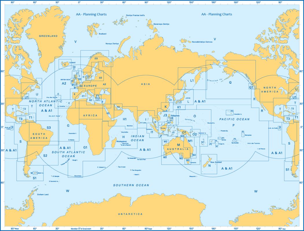
MCMMS is an International Nautical Chart Agent of all reliable Hydrographic Offices around the world. MCMMS, being a private enterprise, services the merchant marine and civil population within the Philippine Islands with navigational charts and publications of national & international waters which are essential for the safety of navigation and commerce. These charts are considered “official” in contrast to those made by commercial publishers. Many hydrographic offices provide regular, sometimes weekly, manual updates of their charts through their sales agents. Individual hydrographic offices produce national chart series and international chart series. Coordinated by the International Hydrographic Organization, the international chart series is a worldwide system of charts (“INT” chart series), which is being developed with the goal of unifying as many chart systems as possible.