Japanese Charts (JP)
Japanese charts are produced by the Japanese Coast Guard (JCG) and distributed by the Japan Hydrographic Association to its chart agents like MORBAI. Japanese charts cover Japanese coastal waters, Pacific and Indian Ocean regions. Selected Japanese charts are also available in English. Japanese charts are updated by the weekly Japanese Notices to Mariners.
Shop Japanese Charts now

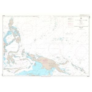

![Japanese Chart W2004 Mariana Islands to Gilbert Islands [Kiribati]](https://morbai.com/wp-content/uploads/2019/11/w2004-300x300.jpg)