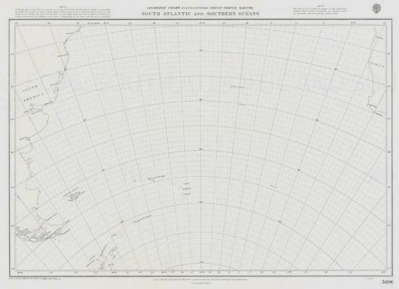
British Admiralty Gnomonic Chart 5096 South Atlantic and Southern Oceans
₱3,500.00
Category: British Admiralty Charts
British Admiralty Gnomonic Chart 5096 South Atlantic and Southern Oceans
These Charts are used in passage planning to plot great circle routes as a straight line. They are useful for devising composite rhumb line courses. Fifteen charts cover the world at scales of 1:13,500,000 and 1:17,500,000.
Chart 5096
Main Chart Details
- Chart Title: South Atlantic and Southern Oceans
- Publication Date: 01/01/1914
- Latest Edition date: 30/08/2018
Be the first to review “British Admiralty Gnomonic Chart 5096 South Atlantic and Southern Oceans” Cancel reply
Related products
British Admiralty Charts
British Admiralty Nautical Chart 5: `Abd Al Kuri to Suqutra (Socotra)
₱3,000.00
British Admiralty Charts
British Admiralty Nautical Chart 30: Plymouth Sound and Approaches
₱3,000.00
British Admiralty Charts
British Admiralty Nautical Chart 3: Indian Ocean, British Indian Ocean Territory, Chagos Archipelago
₱3,000.00
British Admiralty Charts
British Admiralty Nautical Chart 29: Brazil – South Coast, Porto de Santos
₱3,000.00


Reviews
There are no reviews yet.