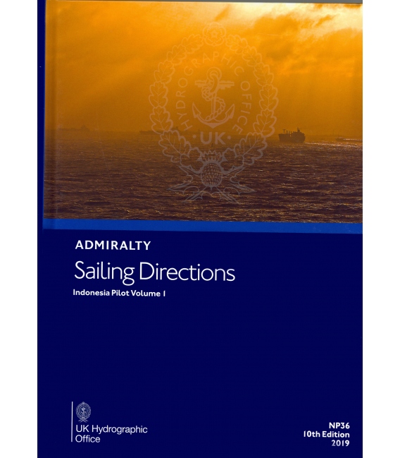
NP36 Admiralty Sailing Directions Indonesia Pilot Vol 1, 11th Edition 2021
₱8,600.00
BANP036
ISBN: 978-0-70-774-5381 (9780707745381)
2 in stock
| CONTENTS | ||
| Pages | ||
| Record of amendments | ii | |
| Preface | iii | |
| Reporting new dangers to navigation | iv | |
| Feedback | iv | |
| Contents | v | |
| Abbreviations | vii | |
| Glossary | ix | |
| Chapter Index Diagrams | xii and xiv | |
|
CHAPTER 1
|
||
| Navigation and regulations | ||
| Limits of the book (1.1) | 1 | |
| Navigational dangers and hazards (1.6) | 2 | |
| Traffic and operations (1.17) | 3 | |
| Charts (1.29) | 4 | |
| Aids to navigation (1.38) | 5 | |
| Pilotage (1.41) | 6 | |
| Radio facilities (1.44) | 6 | |
| Regulations (1.51) | 7 | |
| Signals (1.61) | 8 | |
| Distress and rescue (1.66) | 10 | |
| Natural conditions | ||
| Maritime topography (1.71) | 11 | |
| Magnetic Variation and local anomalies (1.76) | 11 | |
| Currents, tidal streams and flow (1.77) | 12 | |
| Sea level and tides (1.82) | 12 | |
| Sea and swell (1.84) | 12 | |
| Sea water characteristics (1.87) | 15 | |
| Climate and weather (1.90) | 32 | |
| Climate information (1.114) | ||
|
CHAPTER 2
|
||
| Through routes ─ Java Sea | 47 | |
|
CHAPTER 3
|
||
| Selat Sunda including Teluk Semangka and Teluk Lampung | 49 | |
|
CHAPTER 4
|
||
| Java Sea ─ Western Part including the Port of Tanjungpriok | 73 | |
|
CHAPTER 5
|
||
| North Coast of Jawa ─ Tanjung Krawang to Tanjung Bendoh, including Palau-palau Karimunjawa | 93 | |
|
CHAPTER 6
|
||
| Selat Bangka and Nothern Approaches | 109 | |
|
CHAPTER 7
|
||
| Selat Gelasa Approaches ─ North-east side of Pulau Bangka | 125 | |
|
CHAPTER 8
|
||
| Selat Karimata with Pulau Belitung ─ South and West coasts of Karimantan | 139 | |
|
CHAPTER 9
|
||
| West coasts of Karimantan ─ Tanjung Padangtikar to Pulau Pontianak including outlying islands | 151 | |
|
CHAPTER 10
|
||
| Pulau-pulau Lingga ─ Pulau-pulau Riau including Selat Riau and the East coasts of Sumatera | 163 | |
|
CHAPTER 11
|
||
| Inner rote to Singapore Strait by Selat Berhale and Selat Durian including the East Coast of Sumatera and the Islands and Straits between Selat Durian and Selat Riau | 185 | |
|
APPENDICES
|
||
| Appendix I ─ Former Mined Areas | 202 | |
| Appendix II ─ Archipelagic Sea Lanes | 203 | |
|
DISTANCE TABLE
|
||
| Table of distances – South China and Java Seas | 205 | |
|
INDEX
|
||
| Index | 206 | |
Often referred to as Pilots, Sailing Directions are designed for use by the merchant mariner on all classes of ocean-going vessels with essential information on all aspects of navigation. Sailing Directions are complementary to Admiralty Standard Nautical Charts and provide worldwide coverage in 74 volumes. Each publication contains quality colour photography and views, as well as information on navigational hazards, buoyage, meteorological data, details of pilotage, regulations, port facilities and guides to major port entry. New Editions of Admiralty Sailing Directions are published on a regular basis. Navigationally significant information for these publications is issued via the Admiralty Notices to Mariners weekly bulletin (Section IV).
NP36
Publication Details
- Number NP36
- Title Indonesia Pilot Vol 1
- Sub Title n/a
- Type Sailing Directions (Pilots)
- SubType
- Edition No 10
- Pub Year 2019
Publication Supplement Details
- No supplement exists for this Publication.
Be the first to review “NP36 Admiralty Sailing Directions Indonesia Pilot Vol 1, 11th Edition 2021” Cancel reply
Related products
Admiralty Sailing Directions
NP6 Admiralty Sailing Directions South America Pilot, Vol. 2, 19th Edition 2019
Admiralty Sailing Directions
NP2 Admiralty Sailing Directions Africa Pilot Vol 2, 19th Edition 2022
Admiralty Sailing Directions
NP25 Admiralty Sailing Directions British Columbia Pilot, Vol. I, 17th Edition 2019
Admiralty Sailing Directions
NP69 Admiralty Sailing Directions East Coast Of The United States Pilot, Vol. 2, 15th Edition 2021
Admiralty Sailing Directions
NP31 Admiralty Sailing Direction China Sea Pilot, Vol. II, 15th (2021) Edition
Admiralty Sailing Directions
NP11 Admiralty Sailing Directions Arctic Pilot, Vol. 2, 12th Edition 2018
Admiralty Sailing Directions
NP32B Admiralty Sailing Directions China Sea Pilot Volume 4, 4th Edition 2022


Reviews
There are no reviews yet.