Skip to content
-
-
- Philippine Charts
-
₱2,000.00
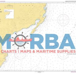
- Chart 1511 – Tarigtig Point to Dicapanisan Point covers the coastal waters between Tarigtig Point and Dicapanisan Point. It shows depths, reefs, shoals, and hazards used for safe coastal navigation.
- Add to cart
-
-
- Philippine Charts
-
₱2,000.00
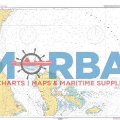
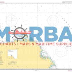
- Chart 1512 – Diotorin Point to Jomalig Island: A nautical chart by the National Mapping and Resource Information Authority showing the coastal and offshore waters from Diotorin Point to Jomalig Island in the Philippines, including depths, hazards, and navigation aids for safe passage.
- Add to cart
-
-
- Philippine Charts
-
₱1,000.00
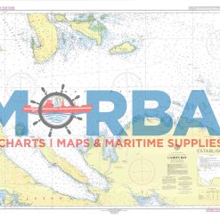
- Chart No. 1513 – Lamon Bay is a nautical chart covering Lamon Bay, providing essential depth soundings and navigational hazards for safe coastal navigation and vessel operations within the bay.
- Add to cart
-
-
- Philippine Charts
-
₱2,000.00
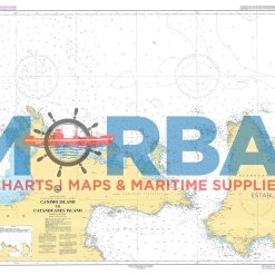
- Chart No. 1514 – Canimo Island to Catanduanes Island is a nautical chart covering the waters between Canimo Island and Catanduanes Island, providing essential depth soundings and navigational hazards for safe coastal and inter-island navigation
- Add to cart
-
-
-
- Philippine Charts
-
₱2,000.00
- Chart No. 1516 – Cabaun Island to Gamay Bay is a nautical chart covering the waters between Cabaun Island and Gamay Bay, providing essential depth soundings and navigational hazards for safe coastal and inter-island navigation.
- Add to cart
-
-
-
-
-
- Philippine Charts
-
₱2,000.00
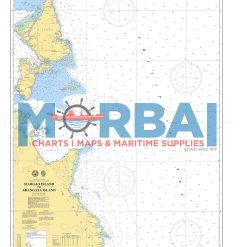
- 1520 – Siargao Island to Arangasa Island is a nautical chart providing hydrographic information for safe navigation between Siargao Island and Arangasa Island. It includes depth soundings, coastal features, and navigational hazards to support safe and efficient coastal and offshore passage.
- Add to cart
-
-
- Philippine Charts
-
₱1,000.00
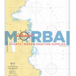
- 1521 – Arangasa Island to Lambajon Point is a nautical chart providing hydrographic information for safe navigation between Arangasa Island and Lambajon Point. It includes depth soundings, shoreline features, and navigational hazards to support safe and efficient coastal and offshore passage.
- Add to cart
-
-
- Philippine Charts
-
₱2,000.00
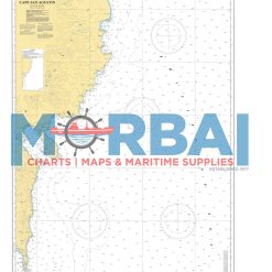
- 1522 – Lambajon Point to Cape San Agustin is a nautical chart providing hydrographic information for safe navigation along the southeastern coast of Mindanao between Lambajon Point and Cape San Agustin. It includes depth soundings, coastal features, and navigational hazards to support safe and efficient coastal passage.
- Add to cart