

1513 Lamon Bay
₱1,000.00
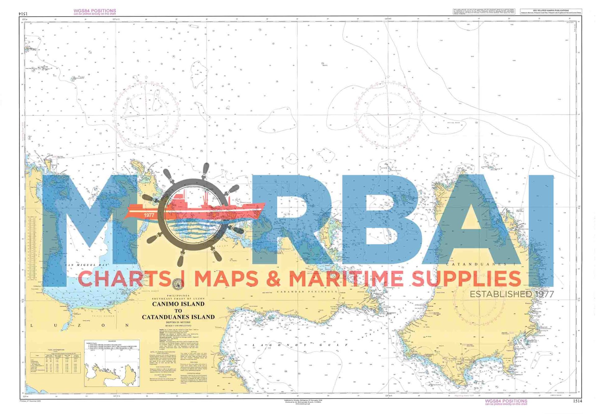
Chart No. 1513 – Lamon Bay is a nautical chart covering Lamon Bay, providing essential depth soundings and navigational hazards for safe coastal navigation and vessel operations within the bay.
Description
Chart No. 1513 – Lamon Bay is a nautical chart covering the waters of Lamon Bay, providing essential depth soundings, coastal features, reefs, shoals, and navigational hazards for safe coastal navigation and vessel operations within the bay.
Key Features:
Accurate bathymetric and depth data
Clearly marked coastal features and hazards
Coverage of coastal and nearshore navigation routes
Suitable for marine navigation and voyage planning

Reviews
There are no reviews yet.