
1511 Tarigtig Point to Dicapanisan Point
₱2,000.00
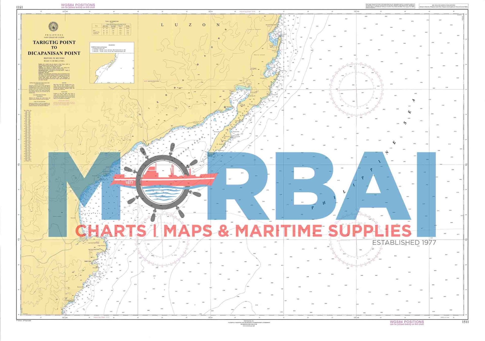
Chart 1511 – Tarigtig Point to Dicapanisan Point covers the coastal waters between Tarigtig Point and Dicapanisan Point. It shows depths, reefs, shoals, and hazards used for safe coastal navigation.
Description
Chart 1511 – Tarigtig Point to Dicapanisan Point covers the coastal waters between Tarigtig Point and Dicapanisan Point.
It is used for coastal navigation and provides hydrographic information for safe vessel passage, including depths, shoreline features, reefs, shoals, and navigational hazards along this stretch of coast.
Key Features:
Coverage from Tarigtig Point to Dicapanisan Point
Depth soundings and seabed contours
Identification of reefs, shoals, and hazards
Coastal reference points for navigation
Guidance for safe coastal transit and route planning


Reviews
There are no reviews yet.