
4458 Port of Palompon
₱2,000.00
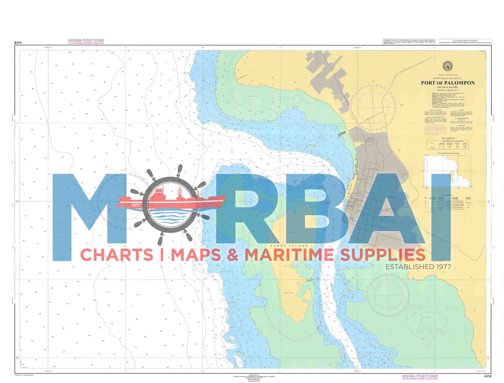
Chart 4458 – Port of Palompon covers the harbor and approach waters of Port of Palompon. It shows depths, hazards, and navigation details used for safe entry, anchorage, and coastal vessel movement.
Description
hart 4458 – Port of Palompon covers the harbor and approach waters of Port of Palompon.
This chart is used for coastal navigation, port entry, and vessel movement in the area, providing essential hydrographic data for safe approach and anchorage.
Key Features:
Coverage of Palompon harbor and nearby coastal waters
Depth soundings and seabed contours for navigation
Identification of reefs, shoals, and hazards
Anchorage areas and port layout information
Coastal reference points for safe vessel transit



Reviews
There are no reviews yet.