
1559 Danger Bank to Mapun Island
₱2,000.00
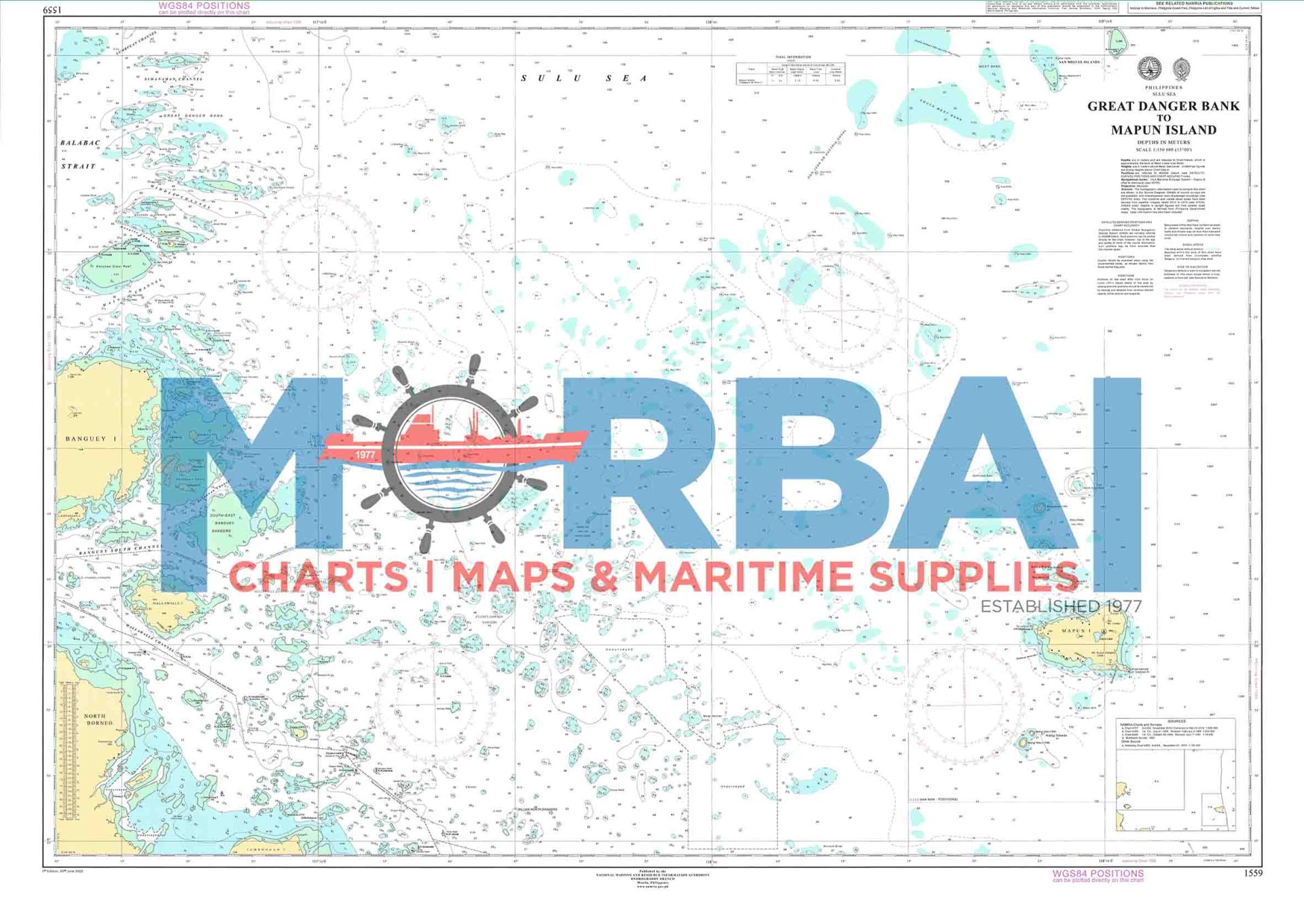
Chart 1559 – Danger Bank to Mapun Island covers the offshore waters between Danger Bank and Mapun Island in Tawi-Tawi.
This nautical chart provides essential hydrographic information for safe offshore navigation, including depth soundings and navigational hazards such as reefs and shoals.
Description
Chart 1559 – Danger Bank to Mapun Island covers the offshore waters extending from Danger Bank to Mapun Island in Tawi-Tawi.
This nautical chart is designed to support safe offshore navigation in the southernmost waters of the Philippines, an area known for shallow banks, scattered reefs, and open-sea conditions. It provides essential hydrographic information for vessel passage and route planning.
The chart includes depth soundings, bathymetric data, reef and shoal locations, and navigational hazards relevant to deep-draft and coastal vessels.
Key Features:
Coverage from Danger Bank to Mapun Island
Offshore depth soundings and bathymetric contours
Identification of reefs, shoals, and submerged hazards
Open-sea navigational references and route guidance
Suitable for coastal shipping and inter-island transit in southern waters


Reviews
There are no reviews yet.