
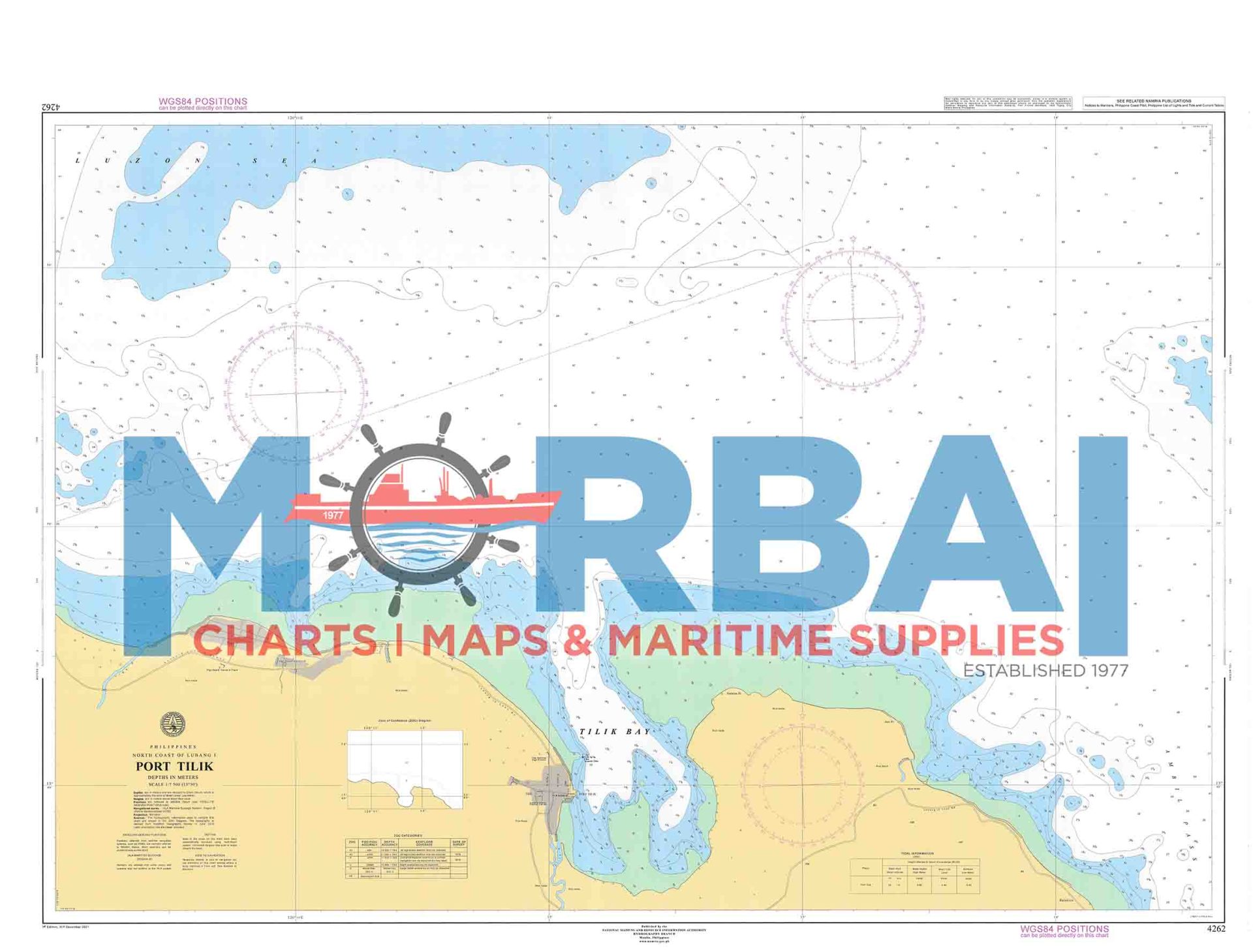
4262 Port Tilik
₱2,000.00
Chart 4262 – Port Tilik Area covers the coastal waters and harbor approaches of Port Tilik in Quezon Province. It shows depths, reefs, shoals, and navigation routes used by vessels entering and leaving the port.
Description
Chart 4262 – Port Tilik Area (Polillo Island, Quezon) generally refers to a nautical chart covering the coastal waters and approaches around Port Tilik.
This chart is used for coastal navigation, port entry, and inter-island vessel movement in the Polillo Strait region. It provides detailed hydrographic and navigational information for ships approaching or departing the island.
Key Features:
Coverage of Port Tilik harbor and surrounding coastal waters
Depth soundings and seabed contours for safe approach navigation
Identification of shoals, reefs, and nearshore hazards
Harbor layout, anchorage areas, and landing points
Coastal reference points for vessel positioning and transit


Reviews
There are no reviews yet.