
1512 Diotorin Point to Jomalig Island
₱2,000.00
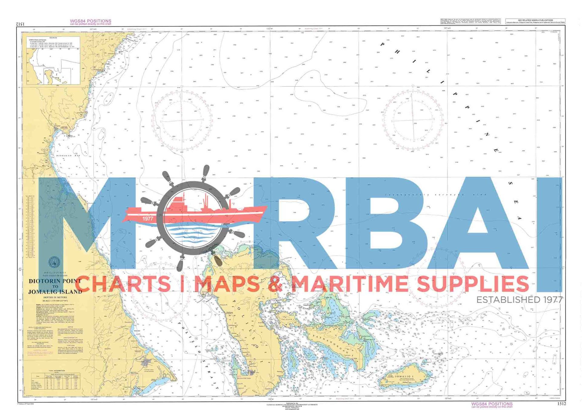
Chart 1512 – Diotorin Point to Jomalig Island:
A nautical chart by the National Mapping and Resource Information Authority showing the coastal and offshore waters from Diotorin Point to Jomalig Island in the Philippines, including depths, hazards, and navigation aids for safe passage.
Description
Chart 1512 – Diotorin Point to Jomalig Island is an official nautical (marine navigation) chart used for safe sea navigation along the eastern coast of Luzon, Philippines.
It covers the coastal waters from Diotorin Point to Jomalig Island, an important area along the Philippine Sea used by fishing vessels and coastal shipping.
Description of the chart:
Type: Nautical navigation chart (Philippine hydrographic chart)
Scale: 1:150,000 (coastal overview scale, suitable for passage planning)
Area covered: Eastern Luzon coastline including parts of Aurora Province and nearby offshore waters
Purpose:
Coastal navigation and route planning
Identifying depths, reefs, shoals, and hazards
Supporting fishing and inter-island vessel operations
Key feature area:
Jomalig Island – known for its remote location, fishing grounds, and coastal communities along the Philippine Sea


Reviews
There are no reviews yet.