Skip to content
-
-
-
-
-
-
-
- Philippine Charts
-
₱2,000.00
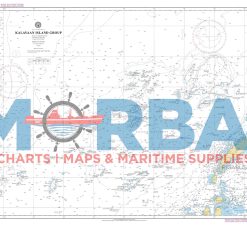
- Chart 4723A – Kalayaan Island Group & Recto Bank is a nautical chart showing depths, hazards, and navigation features around the Kalayaan Island Group and Recto Bank, supporting safe navigation in the South China Sea.
- Add to cart
-
-
- Philippine Charts
-
₱2,000.00
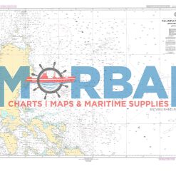
- Chart No. 4726A – Talampas ng Pilipinas (Benham Rise) is a nautical chart covering Benham Rise, providing deep-sea bathymetric data and navigational information for safe offshore and oceanic navigation.
- Add to cart
-
-
- Philippine Charts
-
₱2,000.00
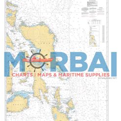
- Chart 5003 – Ungay Point to Cauit Point is a nautical chart showing depths, hazards, and navigation features between Ungay Point and Cauit Point, supporting safe coastal navigation in the Philippines.
- Add to cart
-
-
- Philippine Charts
-
₱2,000.00
- Chart 5006 – Jintotolo Island to Coronado Point is a nautical chart showing depths, hazards, and navigation features along the route between Jintotolo Island and Coronado Point, supporting safe coastal navigation in the Philippines.
- Add to cart
-
-
- Philippine Charts
-
₱2,000.00
- Sulu Archipelago & Celebes Sea provides essential hydrographic and navigational information for safe vessel passage within the Sulu Archipelago and surrounding waters of the Celebes Sea
- Add to cart
-
-
- Philippine Charts
-
₱1,600.00
- Approach Charts (Philippine Index Chart) are nautical reference charts that provide an overview of approach chart coverage for coastal and harbor navigation in the Philippines, helping mariners quickly identify and select the appropriate detailed charts for safe navigation.
- Add to cart
-