
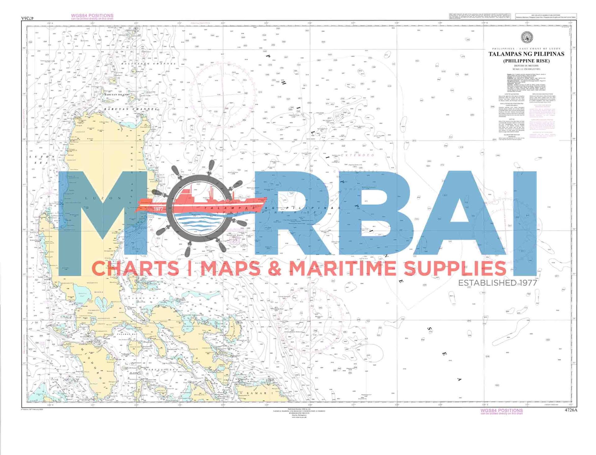
4726A Talampas ng Pilipinas
₱2,000.00
Chart No. 4726A – Talampas ng Pilipinas (Benham Rise) is a nautical chart covering Benham Rise, providing deep-sea bathymetric data and navigational information for safe offshore and oceanic navigation.
Description
Chart No. 4726A – Talampas ng Pilipinas (Benham Rise) is a nautical chart covering the deep-ocean area of Benham Rise, providing essential bathymetric data, seabed features, and navigational information for safe offshore and oceanic navigation in the Philippine Sea.
It is used for deep-water route planning, scientific surveys, and maritime awareness in this remote underwater plateau region.
Key Features:
Detailed deep-sea bathymetric contours
Clearly identified underwater terrain and seabed features
Coverage of offshore oceanic waters
Suitable for marine navigation and oceanographic operations


Reviews
There are no reviews yet.