
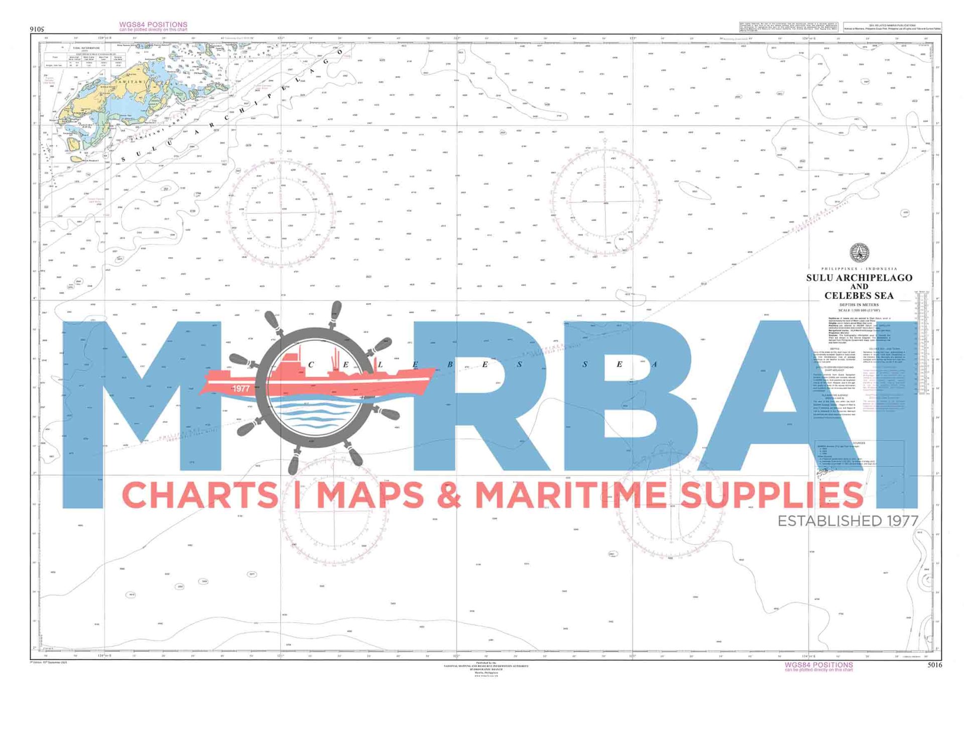
5016 Sulu Archipelago & Celebes Sea
₱2,000.00
Sulu Archipelago & Celebes Sea provides essential hydrographic and navigational information for safe vessel passage within the Sulu Archipelago and surrounding waters of the Celebes Sea
Description
Chart 5016 – Sulu Archipelago & Celebes Sea is an official nautical chart that provides detailed hydrographic and navigational information for the waters surrounding the Sulu Archipelago and the Celebes Sea. It is essential for safe navigation in this complex island and open-sea region in the southern Philippines.
Features:
- Regional Navigation Coverage: Shows sea routes across the Sulu Archipelago extending into the Celebes Sea
- Depth Data: Includes soundings, depth contours, and seabed characteristics for both coastal and deep waters
- Navigation Hazards: Identifies reefs, shoals, strong currents, and other maritime dangers common in the area
- Aids to Navigation: Marks lighthouses, buoys, and navigational beacons across key islands and passages
- Geographic Positioning: Provides coordinates, bearings, distances, and island references for accurate navigation
Purpose:
- To support safe passage through island channels and open waters in the southern Philippines
- To assist mariners navigating between Mindanao and nearby international waters
- To provide reliable hydrographic data for voyage planning in a high-traffic maritime zone
Applications:
Used by commercial vessels, fishing fleets, and maritime operators navigating through the Sulu Archipelago and into the Celebes Sea, including routes toward Malaysia and Indonesia.
Summary:
Chart 5016 provides essential navigation information for the waters of the Sulu Archipelago and the Celebes Sea, supporting safe and efficient maritime travel in one of Southeast Asia’s most geographically complex marine regions.


Reviews
There are no reviews yet.