
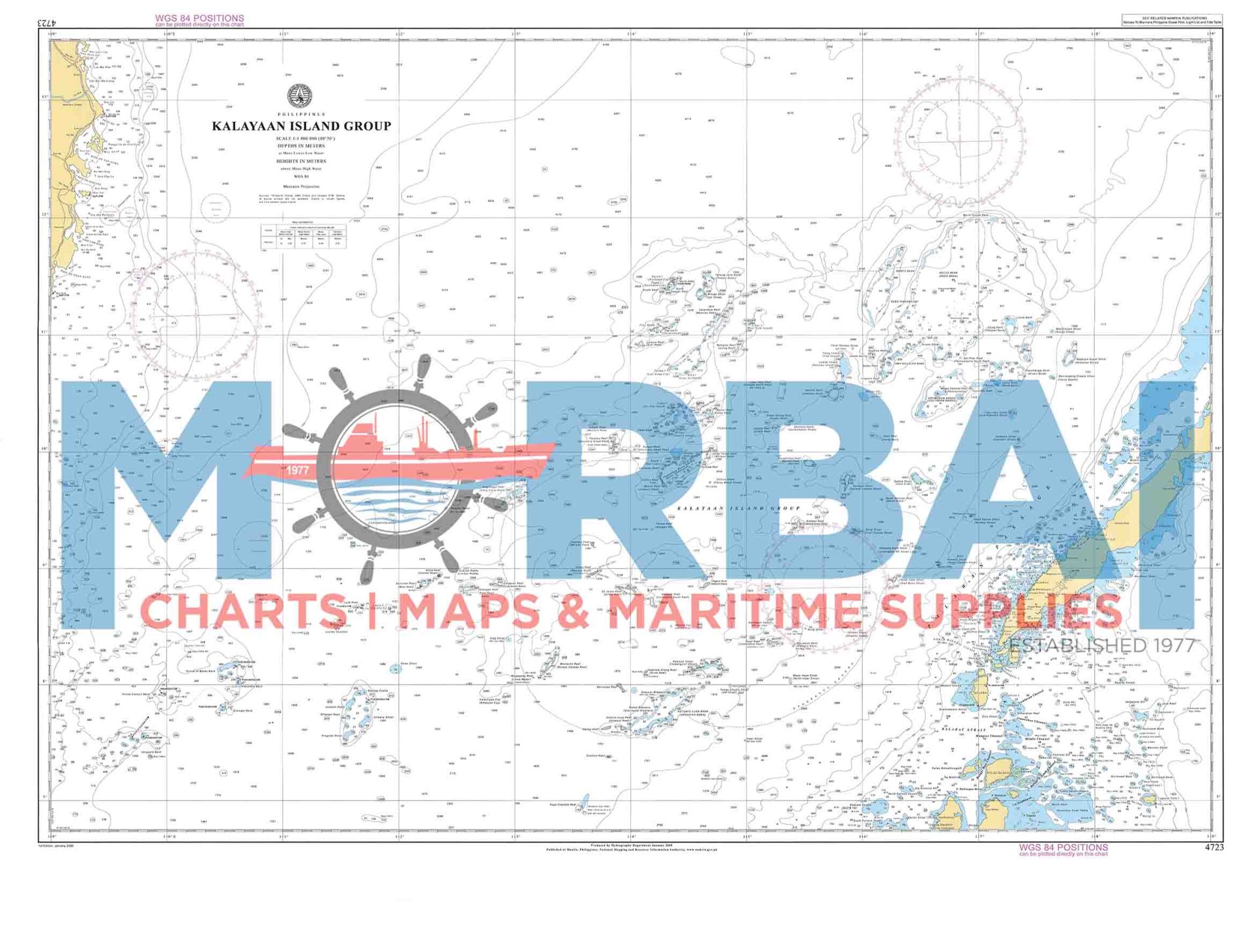

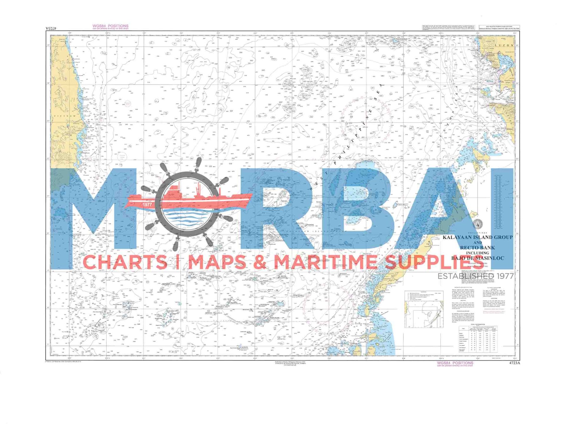
4723A Kalayaan Group Island Group & Recto Bank
₱2,000.00
Chart 4723A – Kalayaan Island Group & Recto Bank is a nautical chart showing depths, hazards, and navigation features around the Kalayaan Island Group and Recto Bank, supporting safe navigation in the South China Sea.
Description
Chart 4723A – Kalayaan Island Group & Recto Bank is an official nautical chart that provides detailed navigational information for the waters surrounding the Kalayaan Island Group and Recto Bank in the South China Sea. It is designed to support safe navigation across this complex area of islands, reefs, and offshore banks.
Features:
Expanded Coverage: Includes both the Kalayaan Island Group and Recto Bank area
Hydrographic Details: Shows depth soundings, contours, and seabed features
Navigation Hazards: Identifies reefs, shoals, and submerged dangers
Aids to Navigation: Indicates lights, markers, and other navigational references where available
Positioning Data: Provides coordinates, bearings, and distances for route planning
Purpose:
To ensure safe navigation in reef-dense and shallow bank areas
To assist mariners in route planning and hazard avoidance
To provide accurate hydrographic information for offshore navigation
Applications:
Used by mariners, offshore operators, and maritime students navigating the western maritime region of the Philippines.
Summary:
Chart 4723A offers comprehensive coverage of both island and offshore bank environments, making it an essential reference for safe navigation in the Kalayaan and Recto Bank areas.


Reviews
There are no reviews yet.