Skip to content
-
-
- Philippine Charts
-
₱1,000.00
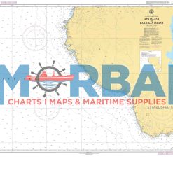
- 1547 – Apo Island to Danjugan Island is a nautical chart providing hydrographic information for safe navigation between Apo Island and Danjugan Island. It includes depth soundings, reef locations, and navigational hazards to support safe and efficient inter-island passage.
- Add to cart
-
-
-
-
- Philippine Charts
-
₱2,000.00
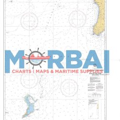
- 1550 – Cagayan Island to Panay Island is a nautical chart providing essential hydrographic information for safe navigation between Cagayan Island and Panay Island. It includes depth soundings, coastal features, and navigational hazards, supporting efficient route planning and safe inter-island passage.
- Add to cart
-
-
-
-
- Philippine Charts
-
₱2,000.00
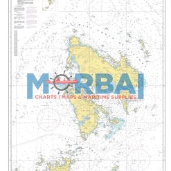
- Chart No. 1553 – Apo West Pass to Linapacan Island is a reliable nautical chart covering key waters of Palawan. It provides essential navigation details such as depth soundings, reefs, shoals, and coastal features between Apo West Pass and Linapacan Island, making it ideal for safe route planning and marine operations.
- Add to cart
-
-
- Philippine Charts
-
₱1,000.00
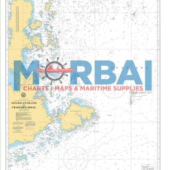
- Chart No. 1554 – Linapacan Island to Charybdis Shoal is a nautical chart featuring essential navigation data, including depths, reefs, and hazards, for safe passage between Linapacan Island and Charybdis Shoal.
- Add to cart
-
-
- Philippine Charts
-
₱2,000.00
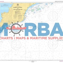
- Chart No. 1555 – Barbacan Point to Malinao Point is a nautical chart covering the coastal waters between Barbacan Point and Malinao Point, providing essential depth soundings, coastal features, and navigational hazards for safe coastal navigation.
- Add to cart
-
-
- Philippine Charts
-
₱2,000.00
- 1556 – Malanao Island to Filantropia Point is a nautical chart providing hydrographic data for safe coastal navigation between Malanao Island and Filantropia Point. It includes depth soundings, shoreline features, and navigational hazards to support safe and efficient nearshore passage.
- Add to cart
-
-