

1553 Apo West Pass to Linapacan Island
₱2,000.00
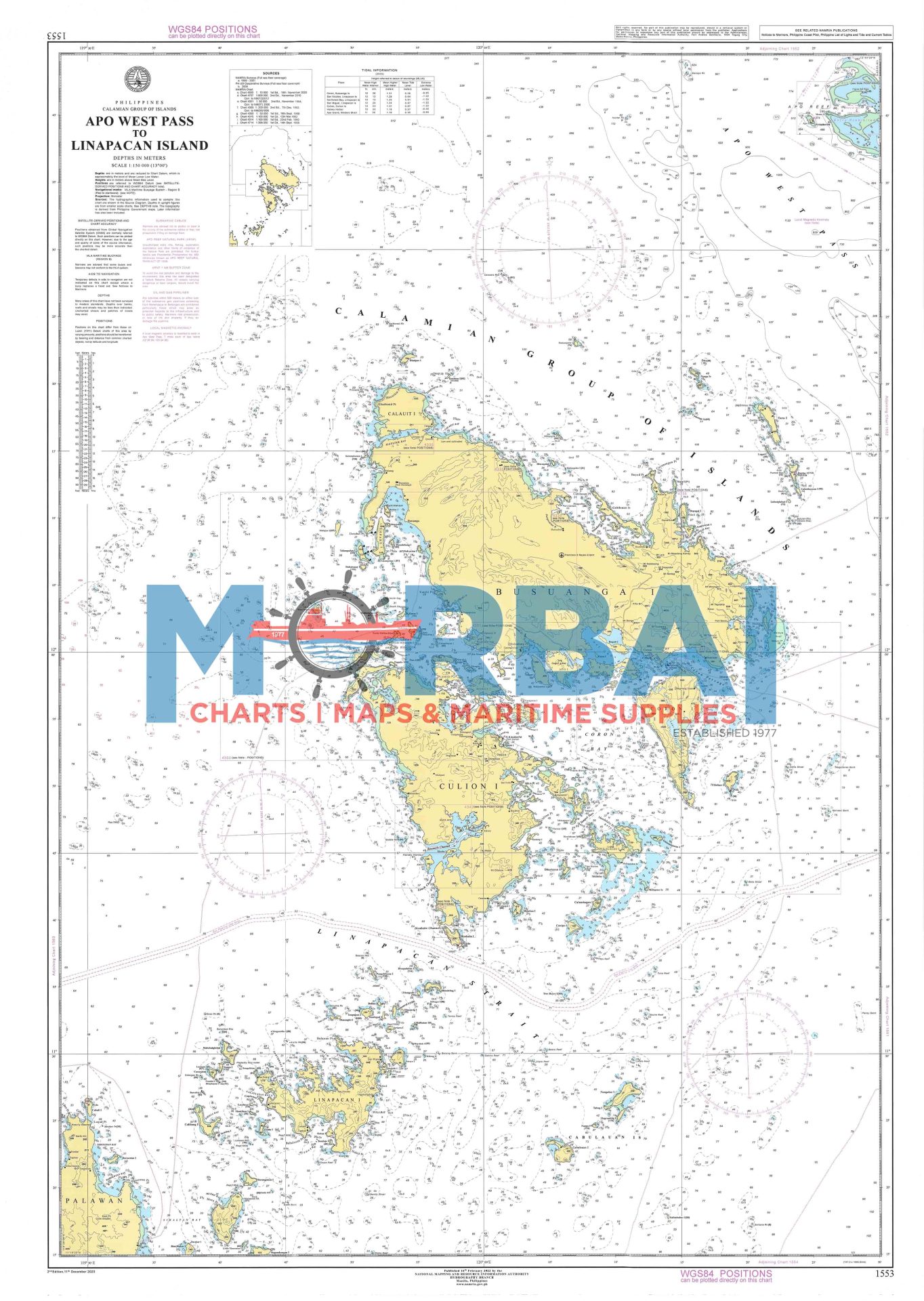
Chart No. 1553 – Apo West Pass to Linapacan Island is a reliable nautical chart covering key waters of Palawan. It provides essential navigation details such as depth soundings, reefs, shoals, and coastal features between Apo West Pass and Linapacan Island, making it ideal for safe route planning and marine operations.
Description
Chart No. 1553 – Apo West Pass to Linapacan Island is a detailed nautical chart designed to support safe and accurate marine navigation in the northern waters of Palawan.
Covering the route from Apo West Pass to Linapacan Island, this chart provides essential hydrographic information including depth soundings, coastal features, reefs, shoals, and navigational hazards. It also highlights island formations within the Calamian archipelago, making it a vital reference for vessels operating in this region.
Ideal for mariners, boat operators, and maritime professionals, Chart 1553 ensures precise route planning and situational awareness in one of the Philippines’ most complex and scenic marine environments. It is also a valuable resource for researchers and enthusiasts interested in coastal geography and navigation.
Key Features:
Accurate bathymetric data and depth contours
Clearly marked reefs, shoals, and hazards
Coastal and island topography details
Reliable reference for safe navigation and voyage planning


Reviews
There are no reviews yet.