
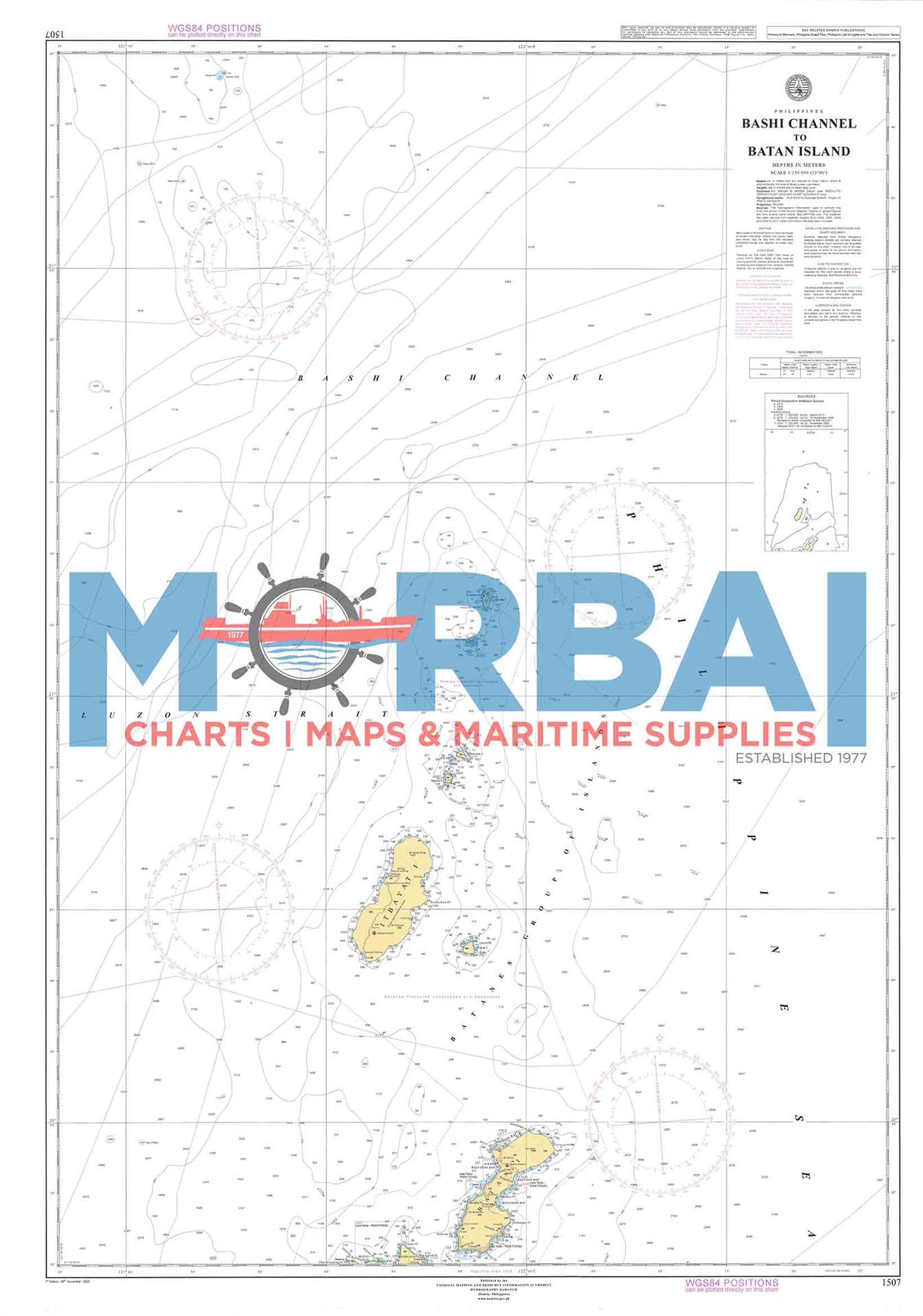
1507 Bashi Channel to Batan Island
₱2,000.00
Chart No. 1507 – Bashi Channel to Batan Island is a nautical chart providing essential navigation data, including depths, coastal features, and hazards, for safe passage between Bashi Channel and Batan Island
Description
Chart No. 1507 – Bashi Channel to Batan Island is a nautical chart, designed for safe navigation in the northernmost waters of the Philippines.
This chart covers the route from Bashi Channel to Batan Island, providing accurate hydrographic information such as depth soundings, seabed contours, coastal features, and navigational hazards. It is essential for vessels operating in this open-sea passage known for strong currents and changing weather conditions.
Ideal for mariners and maritime professionals, Chart 1507 supports precise route planning and safe passage in a critical northern navigation corridor.
Key Features:
Detailed bathymetric and depth data
Clearly marked hazards, reefs, and coastal features
Coverage of open-sea and island navigation routes
Reliable for voyage planning and marine operations


Reviews
There are no reviews yet.