
1547 Apo Island to Danjugan Island
₱1,000.00
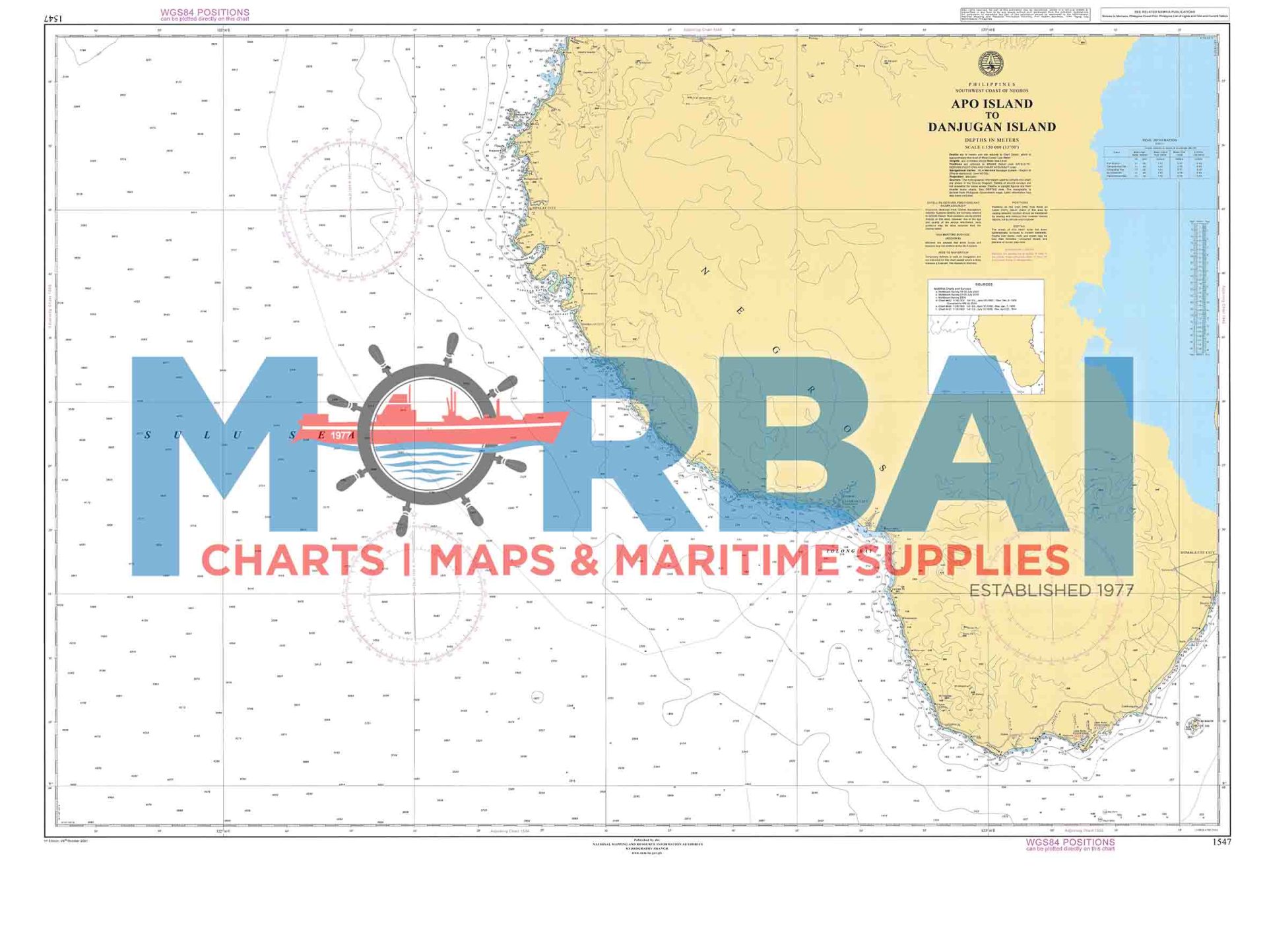
1547 – Apo Island to Danjugan Island is a nautical chart providing hydrographic information for safe navigation between Apo Island and Danjugan Island.
It includes depth soundings, reef locations, and navigational hazards to support safe and efficient inter-island passage.
Description
1547 – Apo Island to Danjugan Island is a nautical chart designed to support safe navigation across the coastal waters between Apo Island and Danjugan Island.
This chart provides accurate hydrographic information, including depth soundings, shoreline configurations, reef systems, and navigational hazards along this ecologically rich marine corridor in the central Philippines. The area is known for coral reefs, marine protected zones, and diverse coastal environments, requiring careful navigation by local and visiting vessels.
Engineered for precision and clarity, Chart 1547 supports safe passage, efficient route planning, and improved situational awareness for small craft, fishing boats, and eco-tourism operations.
Key Features:
Detailed inter-island coastal route coverage
Accurate depth and bathymetric data
Reef, shoal, and marine hazard identification
Coastal and island shoreline references
Ideal for small vessel navigation and eco-tourism transit


Reviews
There are no reviews yet.