
4445 Port of Bacolod
₱2,000.00
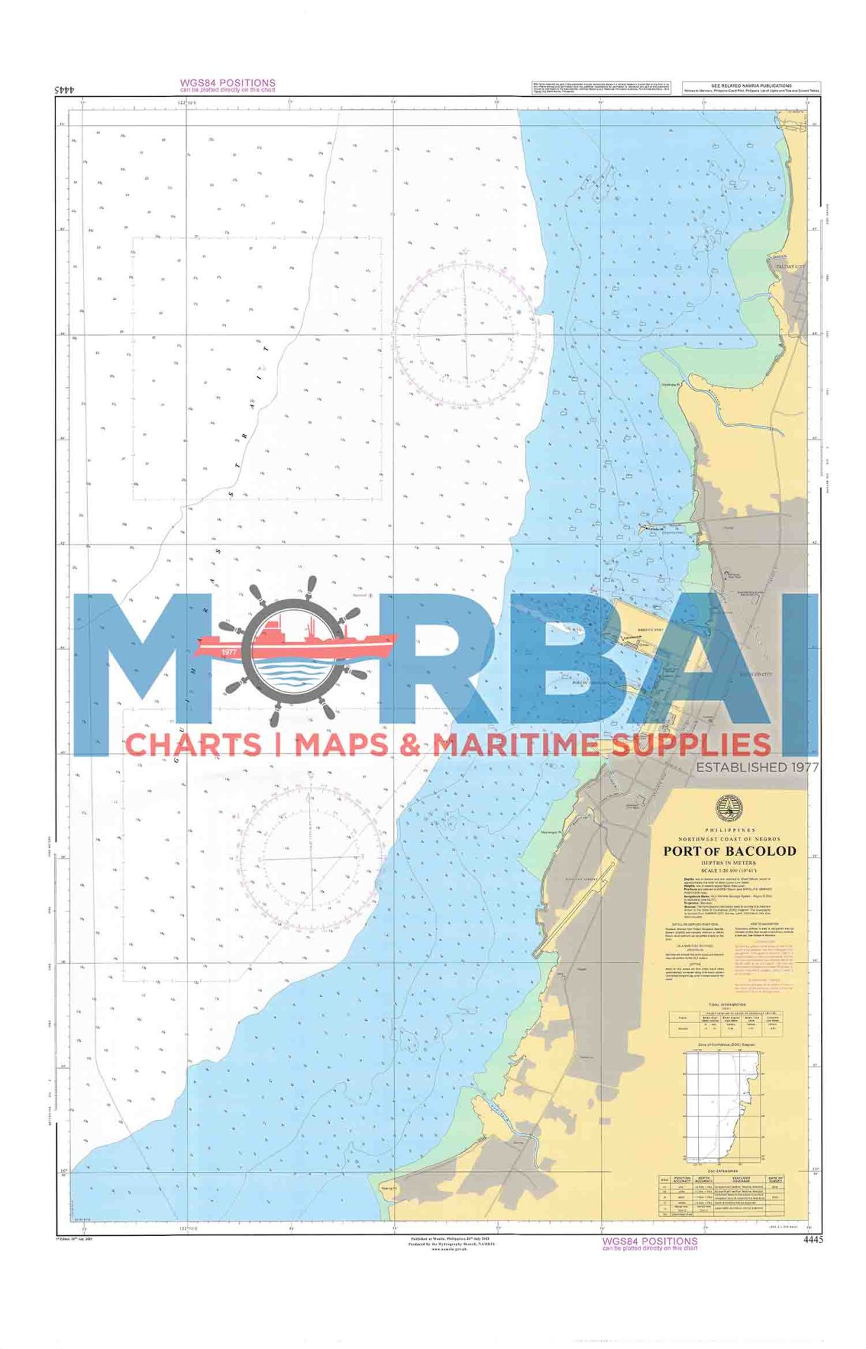
Chart 4445 – Port of Bacolod covers the coastal waters around the Port of Bacolod in Bacolod City. It provides essential hydrographic information such as depth soundings, shoreline features, and navigational hazards to support safe port entry, docking, and coastal navigation in the area.
Description
Chart 4445 – Port of Bacolod covers the coastal waters and shoreline areas around the Port of Bacolod in Bacolod City.
This nautical chart is designed to support navigation and operational awareness in and around one of the key regional ports along the northern coast of Negros Island. It provides detailed hydrographic information relevant to coastal and port navigation, including vessel approaches, docking, and transit routes.
The chart includes depth soundings, bathymetric contours, shoreline features, and navigational references, reflecting the relatively shallow coastal waters and active maritime traffic in the area.
Key Features:
Focused coverage of the Port of Bacolod and surrounding coastal waters
Accurate depth soundings and bathymetric contours
Identification of shoals and navigational hazards
Shoreline configuration and coastal reference points

Reviews
There are no reviews yet.