
4215 Olongapo Inner Bay
₱2,000.00
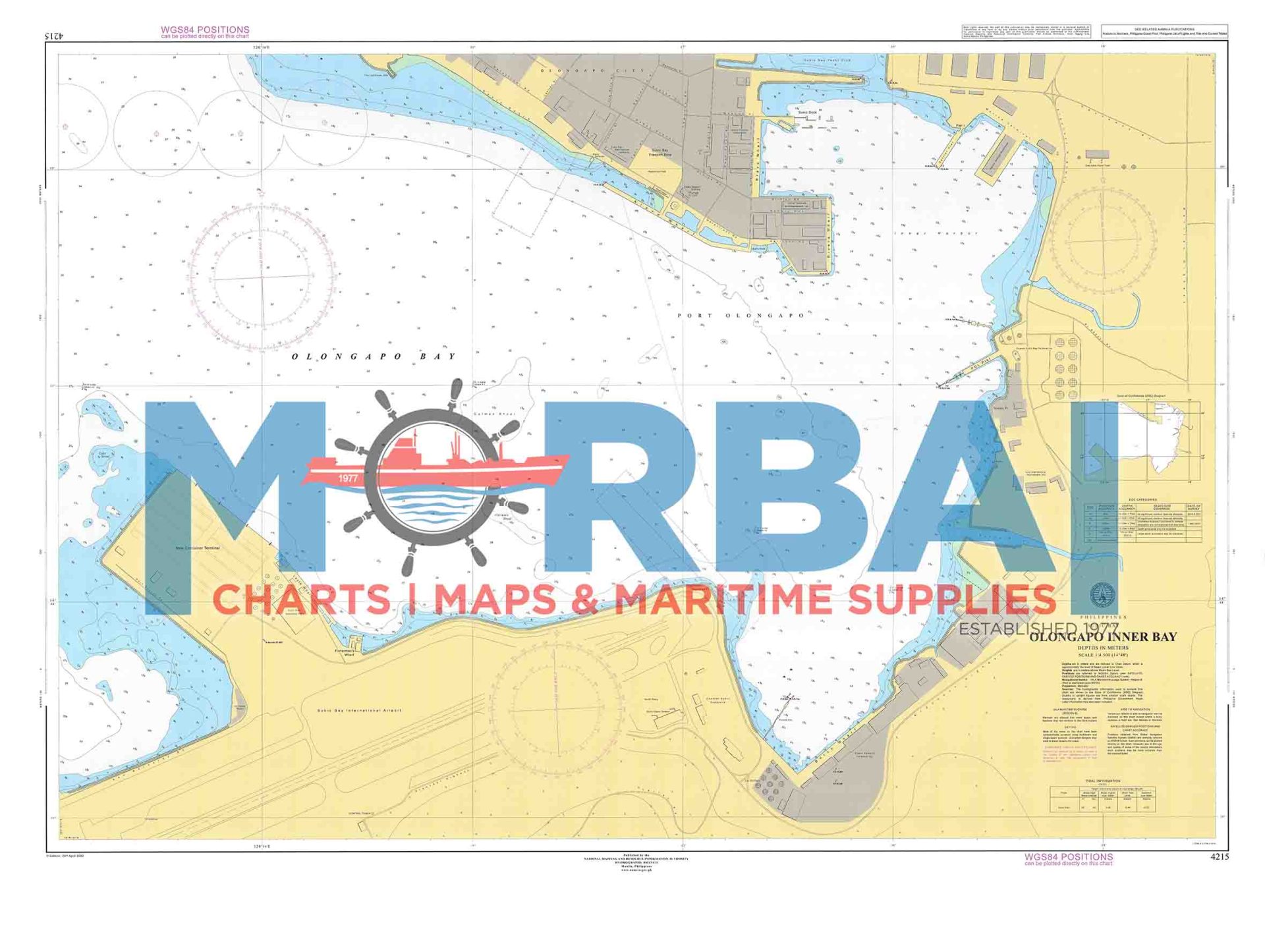
A nautical chart of the inner harbor of Olongapo within Subic Bay, providing detailed depth data, port features, and navigational information for safe harbor operations.
Description
Chart 4215 – Olongapo Inner Bay is a nautical chart designed to support safe navigation within the sheltered waters of Olongapo, located along Subic Bay.
This chart provides detailed hydrographic information, including depth soundings, bathymetric contours, shoreline configurations, port facilities, and navigational hazards. The area is characterized by protected harbor conditions, active maritime traffic, and the presence of commercial, naval, and recreational vessels.
Engineered for precision and clarity, Chart 4215 enhances situational awareness and supports safe and efficient navigation within this important port and anchorage area.
Key Features:
Detailed coverage of inner harbor and port areas
Accurate depth soundings and bathymetric data
Identification of berths, piers, and navigational hazards
Shoreline features and coastal infrastructure
Suitable for harbor navigation, docking, and anchorage operations



Reviews
There are no reviews yet.