
1563 Capoas Cluster to Malubut Glubut Island
₱1,000.00
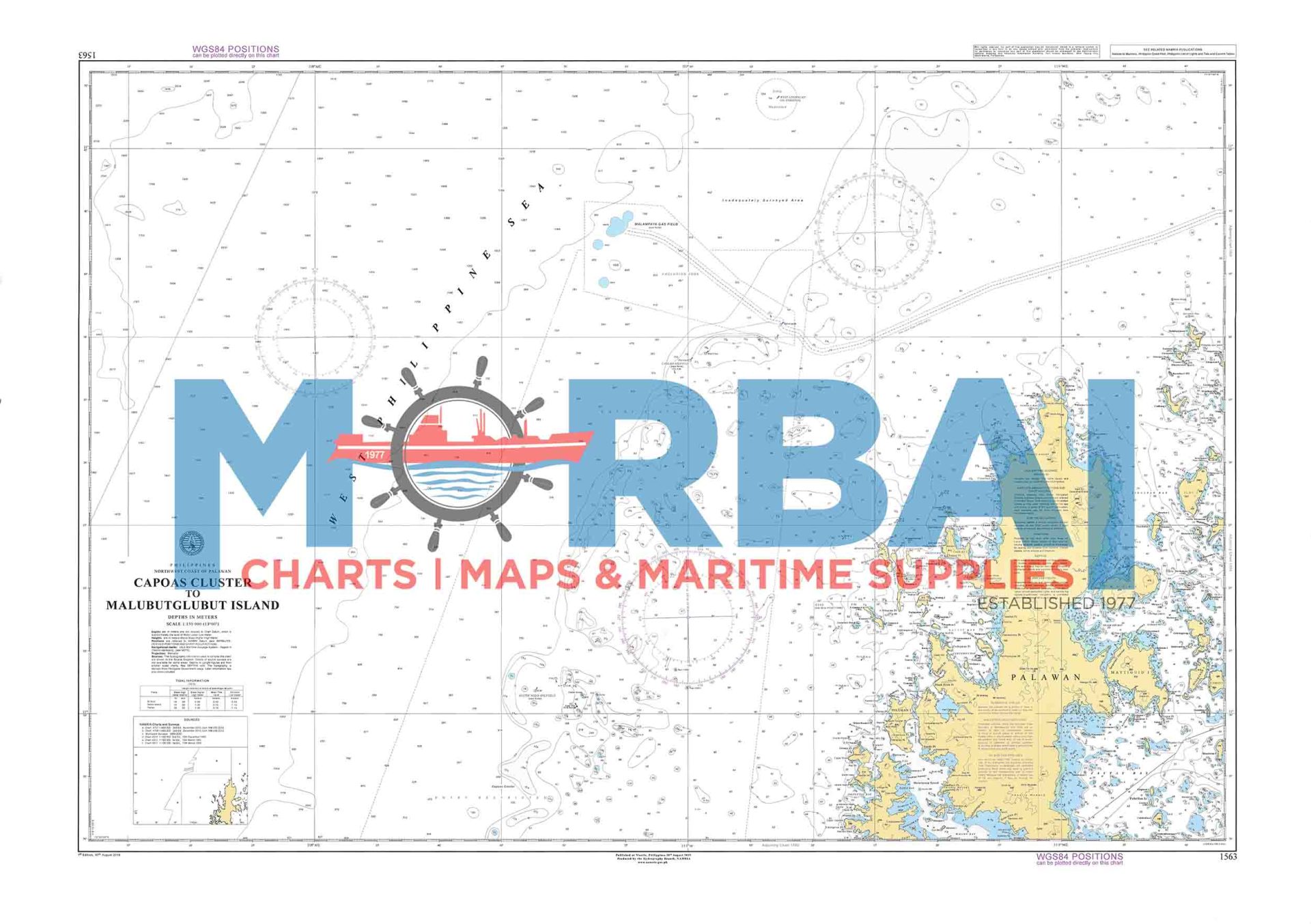
1563 – Capoas Cluster to Malubut Glubut Island is a nautical chart providing essential hydrographic details for safe navigation in the remote waters of northern Palawan, particularly within the Linapacan area.
It includes depth soundings, reef and hazard locations, and coastal features, supporting efficient route planning for vessels operating between island groups and routes linking Coron and El Nido.
Description
1563 – Capoas Cluster to Malubut Glubut Island is a specialized nautical chart designed to support safe navigation across the remote island waters of northern Palawan.
This chart provides detailed hydrographic and topographic information covering the Capoas Cluster and extending toward Malubut Glubut Island, within the island-rich waters of the Linapacan area. It includes depth soundings, shoreline configurations, reef systems, and other critical maritime features that influence vessel movement in this relatively undeveloped region.
The chart highlights submerged hazards such as coral reefs and shoals, along with limited natural anchorage points, making it an essential tool for mariners navigating between the island groups. Frequently used by local fishing vessels, inter-island transport, and expedition boats traveling between Coron and El Nido, this chart supports safe passage through one of Palawan’s most pristine but least serviced maritime corridors.
Produced by the National Mapping and Resource Information Authority, Chart 1563 is engineered for accuracy and clarity, enabling effective route planning, hazard avoidance, and improved situational awareness in an area with minimal navigational aids.
Key Features:
Detailed island and coastal configurations
Accurate depth soundings and bathymetric data
Identification of reefs, shoals, and submerged hazards
Limited anchorage and landing area indications
Essential for small vessel navigation and expedition routing


Reviews
There are no reviews yet.