
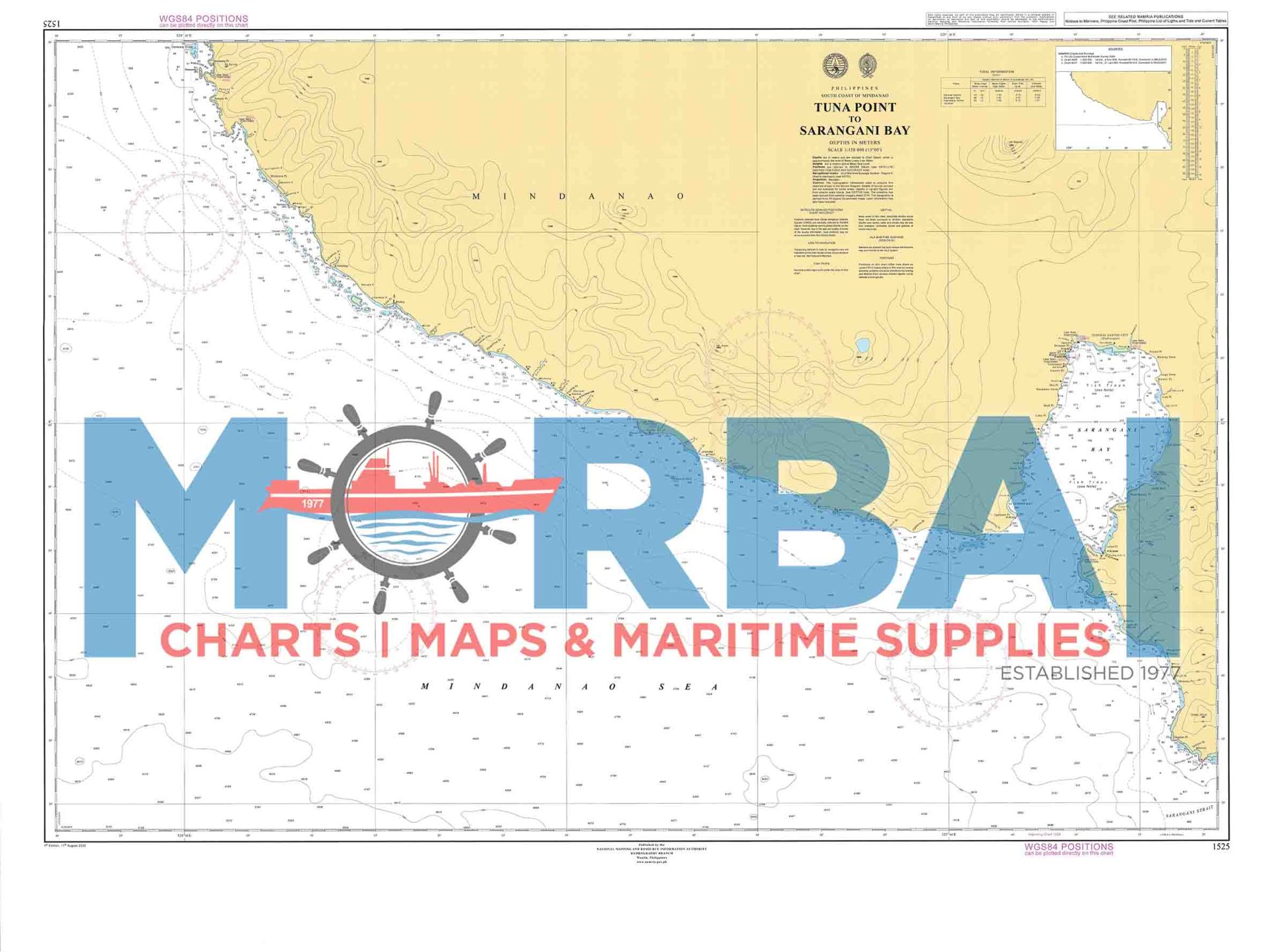
1525 Tuna Point to Sarangani Bay
₱2,000.00
Chart 1525 – Tuna Point to Sarangani Bay is a nautical chart showing the southern Mindanao coast of the Philippines, from Tuna Point to Sarangani Bay. It is used for marine navigation, showing water depths, coastal features, hazards, and routes, especially important for fishing and shipping vessels in the Sarangani Bay area.
Description
Chart 1525 – Tuna Point to Sarangani Bay is an official nautical (marine navigation) chart used for safe sea navigation along the southern coast of Mindanao, Philippines.
It covers the coastal waters from Tuna Point (near Davao Occidental area) down to Sarangani Bay (General Santos–Sarangani region), an important fishing and shipping zone known for its deep waters, tuna fisheries, and busy maritime routes.
Description of the chart:
Type: Nautical navigation chart (Philippine hydrographic chart)
Scale: 1:150,000 (coastal overview scale, suitable for passage planning)
Area covered: Southern Mindanao coastline including portions of Davao Occidental, Sarangani Province, and waters around General Santos City
Purpose:
Coastal navigation and route planning
Identifying depths, reefs, hazards, and ports
Supporting tuna fishing and commercial shipping operations
Key feature area:
Sarangani Bay – a major natural harbor and fishing ground, known as the “Tuna Capital” region of the Philippines



Reviews
There are no reviews yet.