Skip to content
-
-
- Philippine Charts
-
₱2,000.00
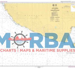
- Chart 1525 – Tuna Point to Sarangani Bay is a nautical chart showing the southern Mindanao coast of the Philippines, from Tuna Point to Sarangani Bay. It is used for marine navigation, showing water depths, coastal features, hazards, and routes, especially important for fishing and shipping vessels in the Sarangani Bay area.
- Add to cart
-
-
-
- Philippine Charts
-
₱2,000.00
Rated 5.00 out of 5
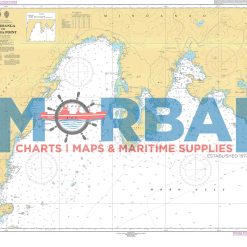
- Chart No. 1527 – Zamboanga to Flecha Point is a nautical chart providing essential navigation details such as depths, coastal features, and hazards for safe passage between Zamboanga City and Flecha Point.
- Add to cart
-
-
- Philippine Charts
-
₱2,000.00
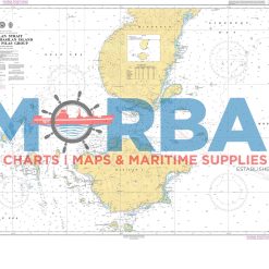
- Chart No. 1528 – Basilan Strait Including Basilan Island and the Pilas Group is a nautical chart covering the waters of Basilan Strait, including Basilan Island and the Pilas Group, providing essential depth soundings, coastal features, and navigational hazards for safe strait navigation and inter-island passage.
- Add to cart
-
-
-
- Philippine Charts
-
₱2,000.00
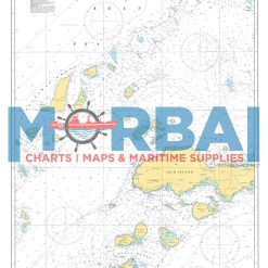
- Chart No. 1530 – Pangutaran Group to Tapul Group Including Jolo Group is a nautical chart covering Pangutaran Group, Tapul Group, and Jolo Group, providing essential depth soundings, coastal features, and navigational hazards for safe inter-island navigation in the Sulu Archipelago.
- Add to cart
-
-
-
- Philippine Charts
-
₱2,000.00
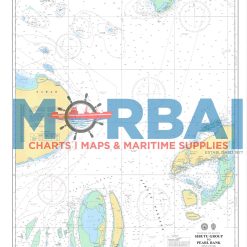
- Chart No. 1532 – Sibutu Group to Pearl Bank is a nautical chart covering the offshore waters between Sibutu Group and Pearl Bank, providing essential depth soundings, seabed features, and navigational hazards for safe offshore and inter-island navigation.
- Add to cart
-
-
- Philippine Charts
-
₱2,000.00
- Chart 1533 – Sibuco Bay to Coronado Bay is a nautical chart of the western Mindanao coast in the Philippines, from Sibuco Bay to Coronado Bay. It is used for marine navigation, showing depths, hazards, and coastal features for safe passage of fishing and shipping vessels along the Sulu Sea.
- Add to cart
-
-
-
-
-
-
-
-
-
-
-
- Philippine Charts
-
₱1,000.00
- Provides key hydrographic and navigational data for safe passage between Romblon Passage, Tablas Strait, and Tayabas Bay.
- Add to cart
-
-
-
-
-
- Philippine Charts
-
₱1,000.00
- 1547 – Apo Island to Danjugan Island is a nautical chart providing hydrographic information for safe navigation between Apo Island and Danjugan Island. It includes depth soundings, reef locations, and navigational hazards to support safe and efficient inter-island passage.
- Add to cart
-