
4249 Port of Capinpin
₱2,000.00
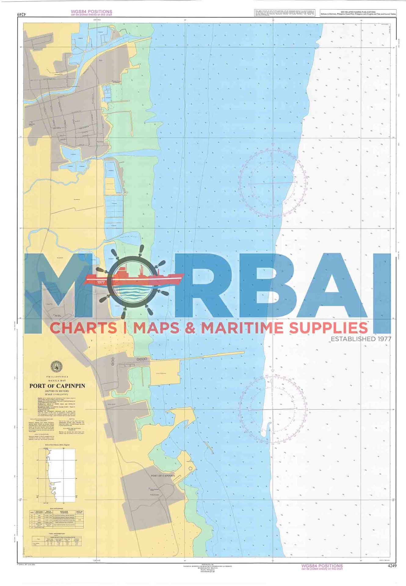
Chart 4249 – Port of Capinpin is a nautical chart covering the inland waters and shoreline around Port of Capinpin in Tanay. It provides essential hydrographic details such as depth soundings, shoreline features, and localized hazards, supporting safe navigation and operational use within this restricted military area.
Description
Chart 4249 – Port of Capinpin covers the inland waters and shoreline areas around Port of Capinpin in Tanay.
This nautical chart is designed to support navigation and operational awareness in and around the military-controlled waters associated with the Philippine Army installation in the area. It provides detailed hydrographic and topographic information relevant to restricted and inland navigation rather than open sea transit.
The chart includes depth soundings, shoreline features, and terrain references, reflecting the area’s mountainous and reservoir-influenced geography near the eastern edge of Laguna de Bay.
Key Features:
Focused coverage of Port of Capinpin and surrounding inland waters
Depth soundings and nearshore bathymetric contours
Identification of shallow areas and localized hazards
Shoreline configuration and terrain references
Suitable for limited navigation, training, and operational planning



Reviews
There are no reviews yet.