
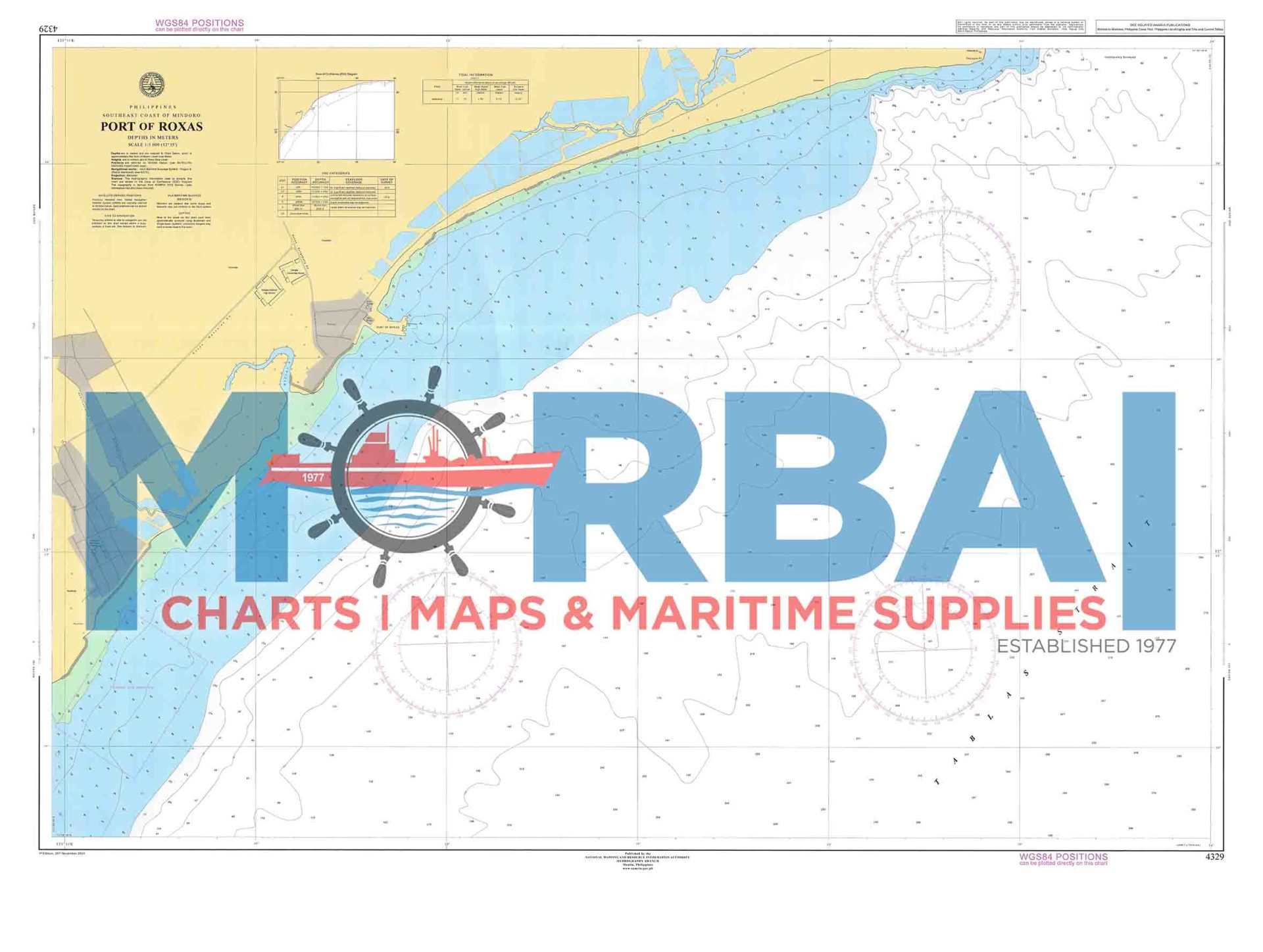
4329 Port of Roxas
₱2,000.00
Chart 4329 – Port of Roxas covers the coastal waters and approaches of Roxas City in Panay Island.
This nautical chart provides essential hydrographic information for safe navigation in and around the port, including vessel approaches and coastal waters.
Description
Chart 4329 – Port of Roxas covers the coastal waters and approaches of Roxas City along the northeastern coast of Panay Island.
This nautical chart is designed to support safe navigation and operational awareness in and around the Port of Roxas. It provides essential hydrographic information for vessel approaches, docking, and coastal transit.
The chart includes depth soundings, shoreline features, bathymetric contours, and navigational hazards relevant to port operations and nearby waters.
Key Features:
Coverage of the Port of Roxas and adjacent coastal waters
Depth soundings and bathymetric contours
Identification of shoals and navigational hazards
Shoreline configuration and reference points
Suitable for coastal navigation, fishing vessels, and port operations



Reviews
There are no reviews yet.