
1533 Sibuco Bay to Coronado Bay
₱2,000.00
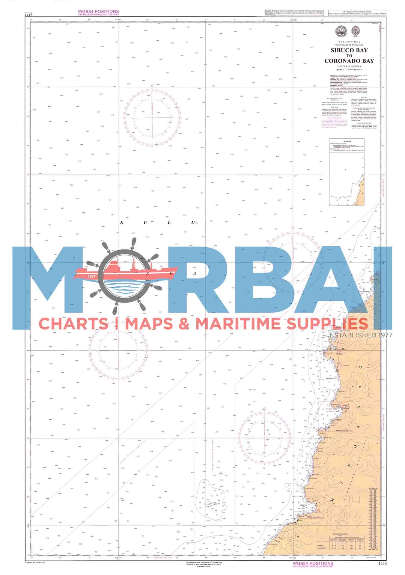
Chart 1533 – Sibuco Bay to Coronado Bay is a nautical chart of the western Mindanao coast in the Philippines, from Sibuco Bay to Coronado Bay. It is used for marine navigation, showing depths, hazards, and coastal features for safe passage of fishing and shipping vessels along the Sulu Sea.
Description
Chart 1533 – Sibuco Bay to Coronado Bay is an official nautical (marine navigation) chart used for safe sea navigation along the western coast of Mindanao, Philippines.
It covers the coastal waters from Sibuco Bay (Zamboanga del Norte area) down to Coronado Bay, an important stretch along the Sulu Sea used for fishing and inter-island shipping.
Description of the chart:
Type: Nautical navigation chart (Philippine hydrographic chart)
Scale: 1:150,000 (coastal overview scale, suitable for passage planning)
Area covered: Western Mindanao coastline including parts of Zamboanga del Norte and nearby coastal waters
Purpose:
Coastal navigation and route planning
Identifying depths, reefs, shoals, and hazards
Supporting fishing and commercial vessel operations
Key feature area:
Sibuco Bay – known for fishing activity and coastal settlements along the Sulu Sea coast


Reviews
There are no reviews yet.