
General and Overview Charts (Philippine Index Chart)
₱1,600.00
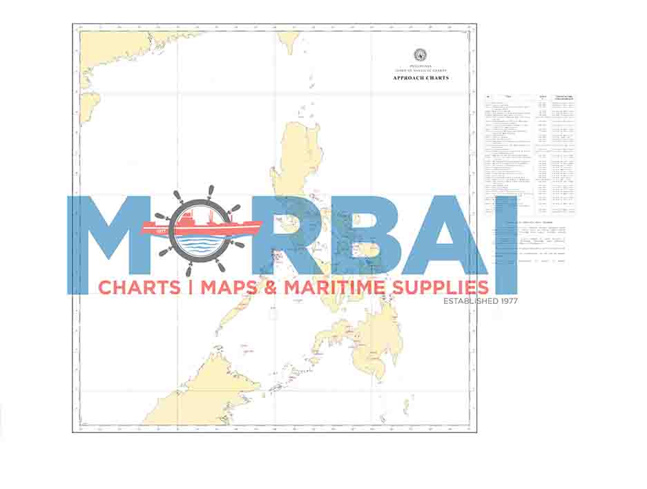
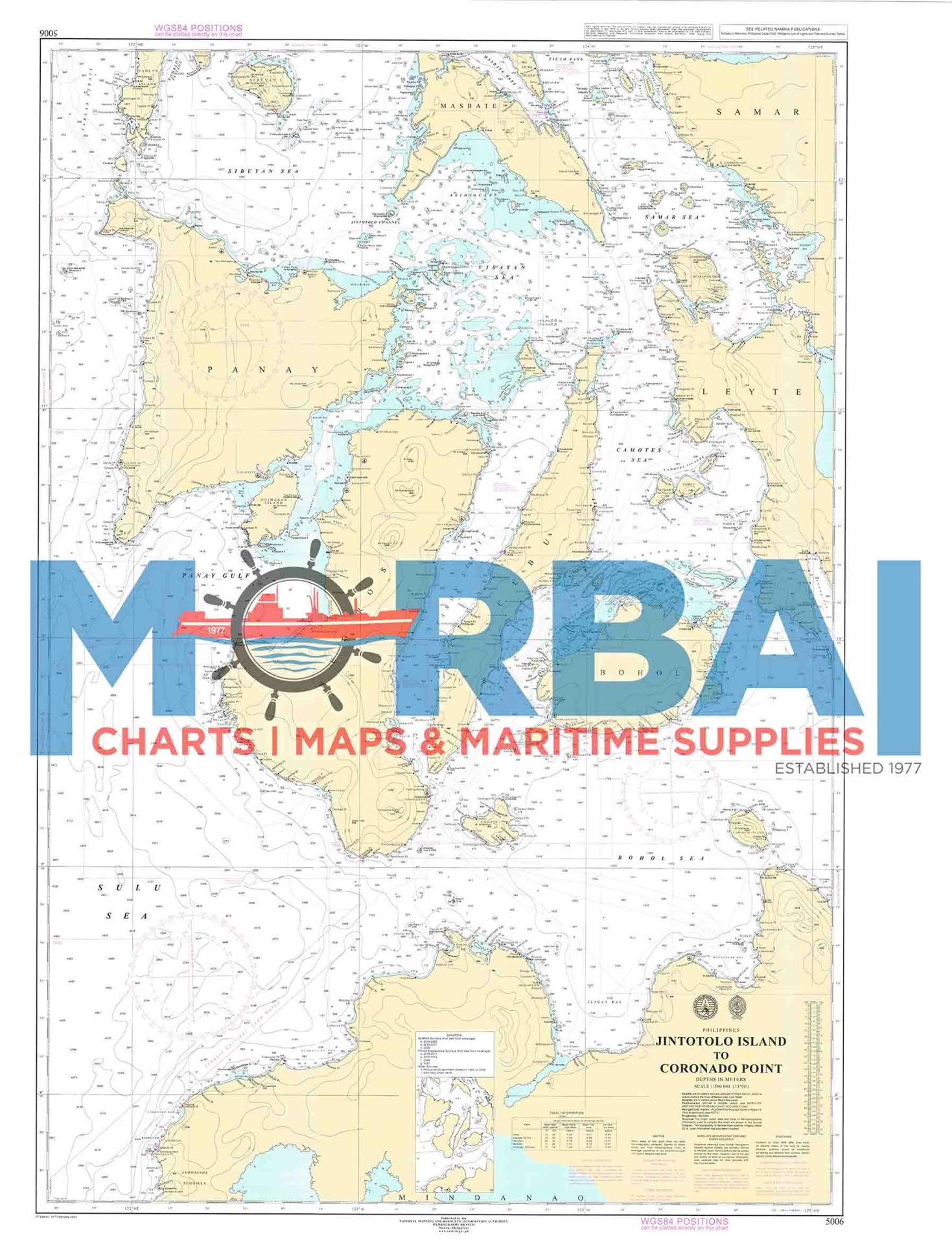
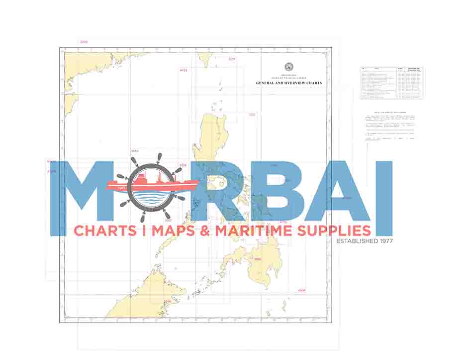
General and Overview Charts (Philippine Index Chart) provide a broad, small-scale view of chart coverage across the Philippines, helping mariners plan routes and select the appropriate detailed navigation charts.
Description
General and Overview Charts (Philippine Index Chart) are official nautical reference charts that present a broad view of chart coverage across the Philippines. They are designed for large-scale navigation and voyage planning, helping mariners identify the appropriate detailed charts for different regions of the archipelago.
Features:
Wide Area Coverage: Displays major sea areas across Luzon, Visayas, and Mindanao
Chart Indexing: Shows chart numbers, limits, and coverage of general and overview charts
Simplified Detail: Focuses on major coastlines, islands, and key navigation routes
Planning Tool: Ideal for route selection and long-distance voyage preparation
Reference Guide: Helps users determine which detailed charts are required for specific areas
Purpose:
To support strategic voyage planning over large distances
To provide an overview of national chart coverage
To assist in selecting appropriate charts for further navigation
Applications:
Used by mariners, navigators, and maritime students for general route planning and understanding chart distribution throughout the Philippines.
Summary:
These charts act as a “big-picture map,” giving navigators a clear overview of Philippine waters and guiding them to the correct detailed charts for safe and efficient navigation.


Reviews
There are no reviews yet.