

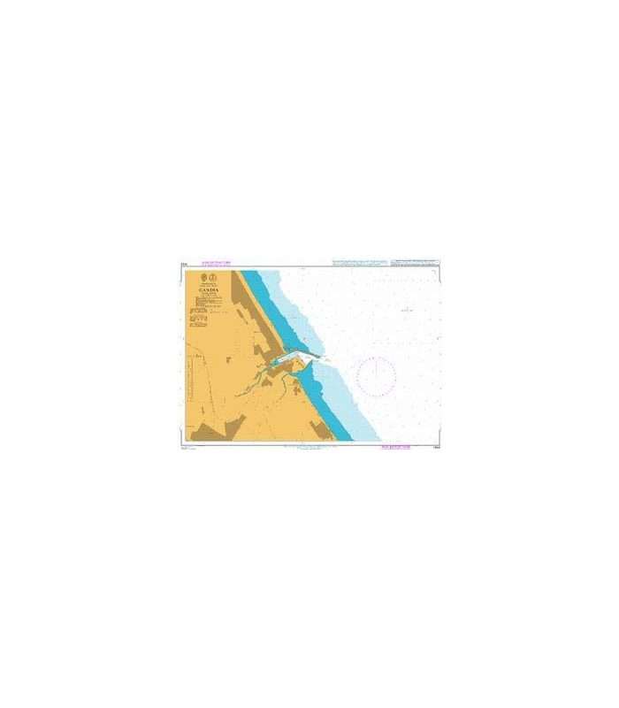
British Admiralty Nautical Chart 1453 Gandia
₱3,900.00
Description
British Admiralty Nautical Chart 1453 Gandia
is corrected up to date. Admiralty standard nautical charts comply with Safety of Life at Sea (SOLAS) regulations and are ideal for professional, commercial and recreational use. Charts within the series consist of a range of scales, useful for passage planning, ocean crossings, coastal navigation and entering port. Mariners should always use the largest scale nautical chart appropriate to their needs. In particularly busy seaways such as the English Channel, Gulf of Suez and the Malacca and Singapore Straits, the standard nautical charts are supplemented by mariners routeing guides which provide advice on route planning in these complex areas
Chart 1453
Main Chart Details
- Chart Title: Gandia
- Publication Date: 26/06/2003
- Latest Edition date: 09/10/2014
- Chart Size: 736 x 592 (mm)
Chart Panel Details
- Panel Name Gandia
- Area Name Spain East Coast
- Natural Scale 10000
- North Limit 39 01′.10N
- East Limit 0 06′.30W
- South Limit 38 57′.90N
- West Limit 0 11′.40W

Reviews
There are no reviews yet.