
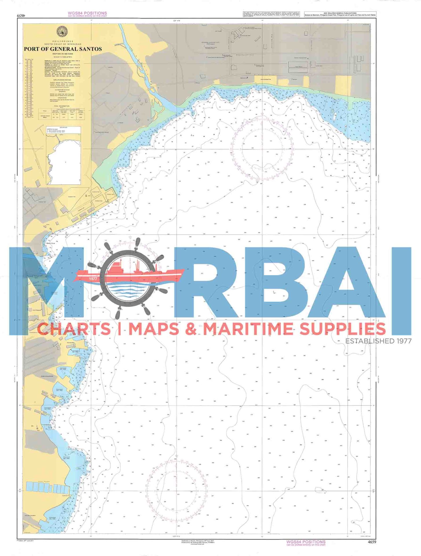
4659 Port of General Santos
₱2,000.00
Provides detailed hydrographic and navigational data for safe vessel operations within the Port of General Santos.
Description
Chart 4659 – Port of General Santos is an official nautical chart that provides detailed hydrographic and navigational information for the General Santos City port area, located along Sarangani Bay.
Features:
- Port Coverage: Shows harbor layout, berths, piers, and anchorage areas
- Depth Data: Includes soundings, depth contours, and seabed conditions within the port
- Navigation Hazards: Identifies shoals, obstructions, and restricted zones
- Aids to Navigation: Marks lighthouses, buoys, beacons, and port signals
- Geographic Positioning: Provides precise coordinates, bearings, and docking references
Purpose:
- To support safe entry, exit, and maneuvering within the port of General Santos
- To assist mariners in docking and cargo operations
- To provide accurate hydrographic data for port navigation planning
Applications:
Used by commercial vessels, cargo ships, fishing fleets, and port authorities operating within General Santos harbor.
Summary:
Chart 4659 provides essential navigation information for the Port of General Santos, supporting safe and efficient harbor operations.


Reviews
There are no reviews yet.