
4653 Harbours on the South Coast of Mindanao
₱400.00
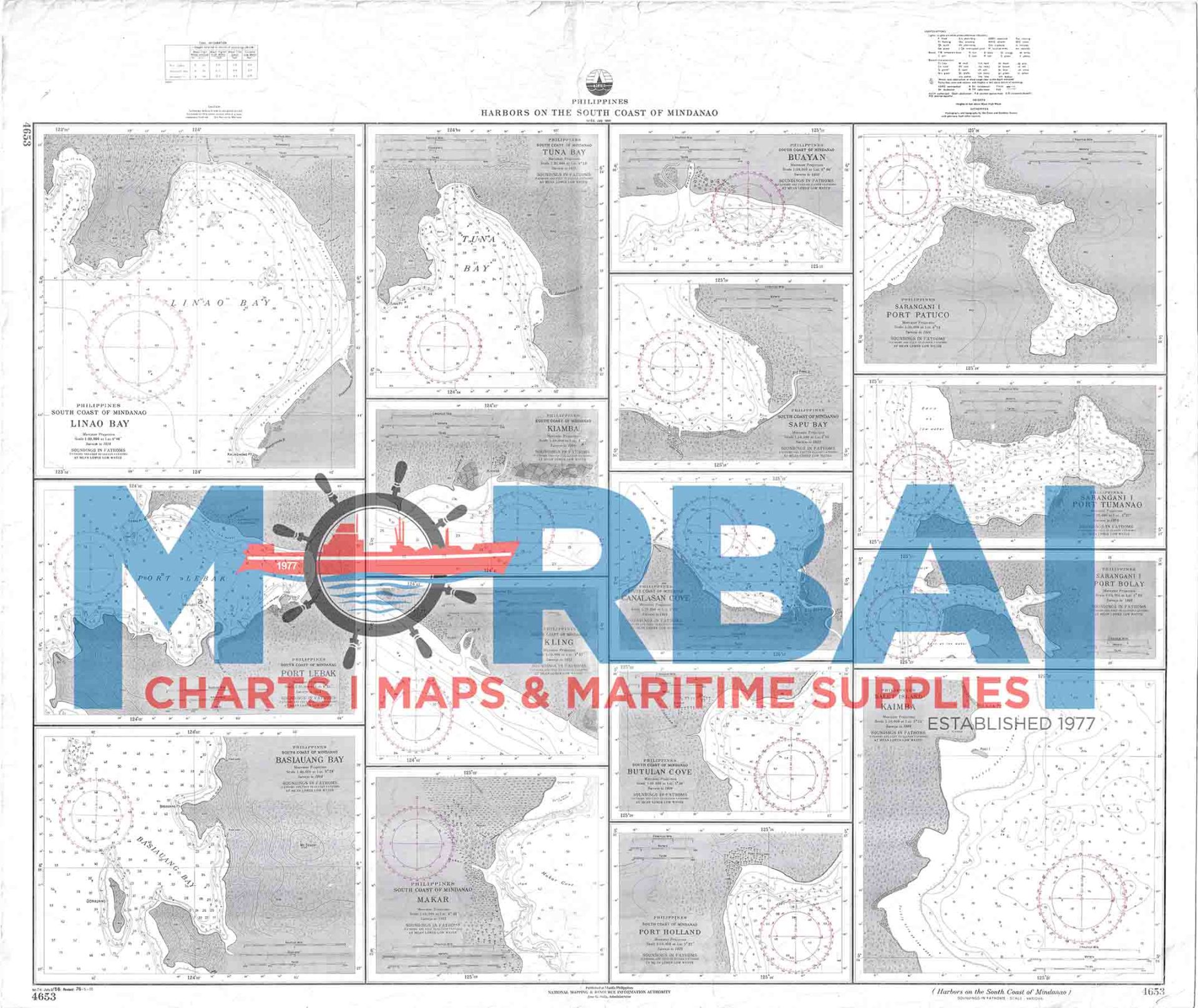
Chart 4653 South Coast of Mindanao – shows harbours and coastal navigation details along the southern Mindanao coast.
Features: depths, harbour areas, hazards, and navigation aids.
Purpose: supports safe harbour entry and coastal navigation.
Use: for vessels operating along the south coast of Mindanao.
Description
South Coast of Mindanao – Chart 4653 – Harbours on the South Coast of Mindanao is an official nautical chart that provides detailed hydrographic and navigational information for key harbours along the southern coastline of Mindanao.
Features:
Coastal Coverage: Shows harbour areas, shoreline features, approaches, and nearby coastal waters along the south coast
Depth Data: Includes soundings, depth contours, and seabed conditions for safe entry and anchorage
Navigation Hazards: Identifies reefs, shoals, and coastal dangers affecting harbour access
Aids to Navigation: Marks lighthouses, buoys, beacons, and other navigational aids
Geographic Positioning: Provides coordinates, bearings, and reference points for navigation
Purpose:
To support safe entry and exit from harbours along southern Mindanao
To assist mariners in coastal navigation and anchorage planning
To provide reliable hydrographic data for voyage preparation
Applications:
Used by commercial ships, fishing vessels, and maritime operators along the southern Mindanao coast
Summary:
Chart 4653 provides essential navigation information for harbours on the south coast of Mindanao, supporting safe and efficient coastal operations.



Reviews
There are no reviews yet.