
4448A Iloilo Harbor and Vicinity
₱2,000.00
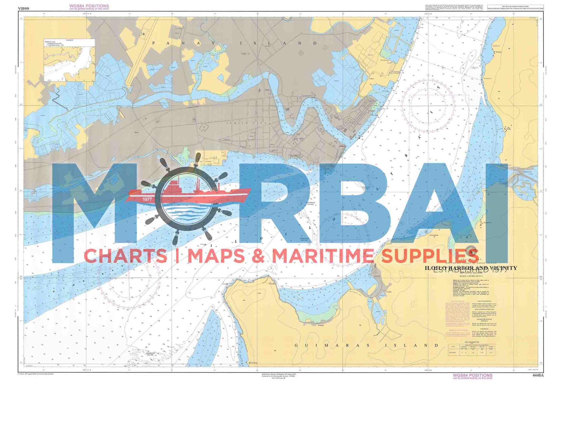
Chart No. 4448A – Iloilo Harbor and Vicinity is a nautical chart covering Iloilo Harbor, providing depth soundings and navigational information for safe harbor entry and vessel operations.
Description
Chart No. 4448A – Iloilo Harbor and Vicinity is a nautical chart covering the harbor and surrounding waters of Iloilo Harbor, providing essential depth soundings, port facilities, coastal features, and navigational hazards for safe harbor entry and vessel operations.
It is particularly useful for ships navigating the port and nearby coastal areas, supporting berthing, anchorage planning, and safe maneuvering within the harbor and its approaches.
Key Features:
Accurate harbor and approach depth data
Clearly marked port facilities and navigational hazards
Coverage of harbor, approaches, and nearby coastal waters
Suitable for marine navigation and port operations



Reviews
There are no reviews yet.