
4358 Port of Caticlan
₱2,000.00
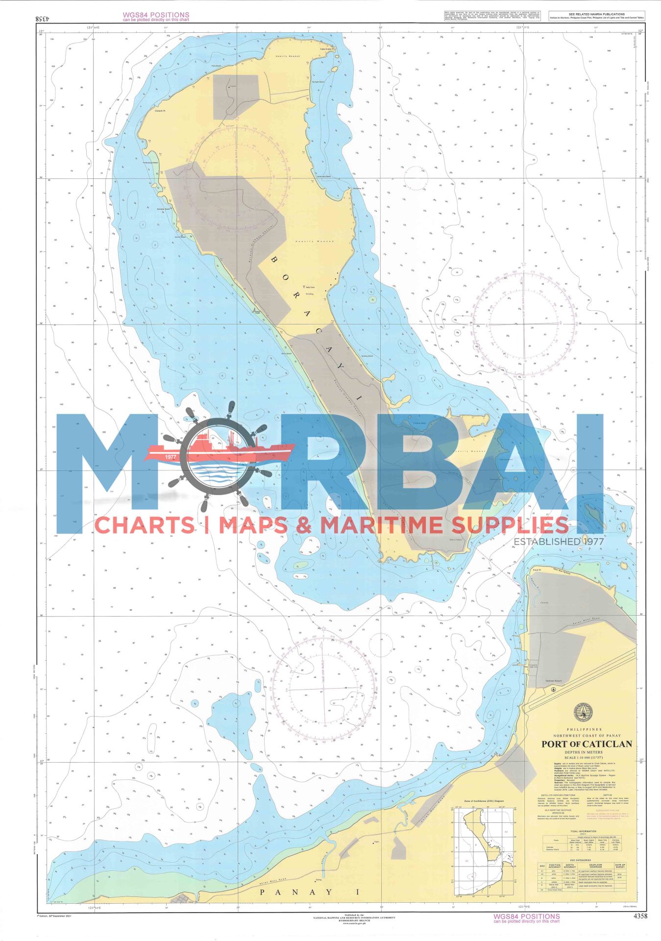
Chart No. 4358 – Port of Caticlan is a nautical chart providing accurate navigation details for Port of Caticlan. It includes depth soundings, harbor layout, and navigational aids, making it essential for safe vessel movement and port operations in this key gateway to Boracay Island.
Description
Chart No. 4358 – Port of Caticlan is a detailed nautical chart designed to support safe navigation within the busy harbor of Port of Caticlan.
This chart provides accurate hydrographic information including depth soundings, shoreline configurations, berthing areas, and navigational aids within the port. Located in Aklan, the Port of Caticlan serves as a major gateway to Boracay Island, making this chart essential for ferry operators, commercial vessels, and local boat traffic.
Engineered for precision and clarity, Chart 4358 ensures efficient route planning, safe docking, and improved situational awareness in a high-traffic maritime environment.
Key Features:
Detailed port layout and harbor information
Accurate depth and bathymetric data
Marked navigational aids and hazards
Ideal for marine navigation and port operations


Reviews
There are no reviews yet.