
4230 Laguna de Bay (Napindan Channel, Pasig River Approach)
₱2,000.00
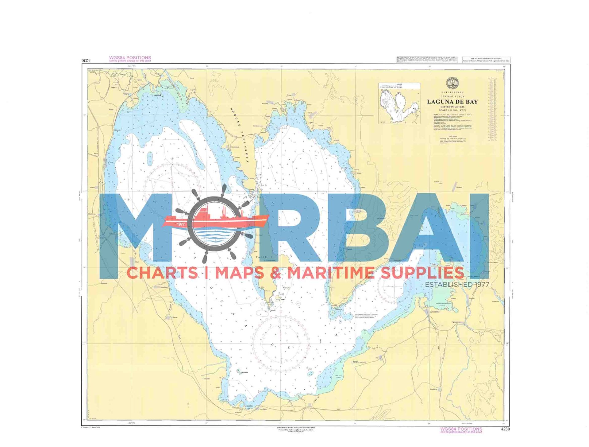
Chart No. 4230 – Laguna de Bay (Napindan Channel, Pasig River Approach) is a nautical chart covering Laguna de Bay and the approach via Pasig River, providing essential depth soundings, channel details, and navigational hazards for safe inland waterway navigation.
Description
Chart No. 4230 – Laguna de Bay (Napindan Channel, Pasig River Approach) is a nautical chart covering the waters of Laguna de Bay including the Napindan Channel and approach to the Pasig River.
It provides essential hydrographic information such as depth soundings, river and lake features, shoals, and navigational hazards. This chart is particularly useful for inland waterway navigation, vessel transit between the lake and river system, and local maritime operations.
Key Features:
Accurate depth soundings for inland waters
Clearly marked channels, river approaches, and hazards
Coverage of lake and river navigation routes
Suitable for inland marine navigation and vessel planning



Reviews
There are no reviews yet.