
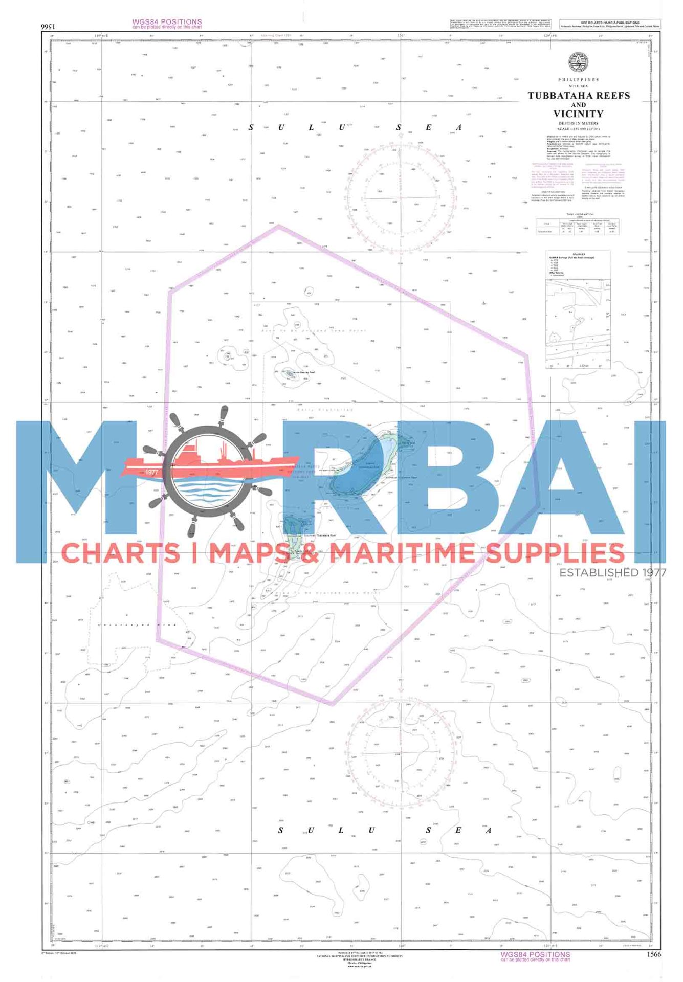
1566 Tubbataha Reefs and Vicinity
₱2,000.00
Chart No. 1566 – Tubbataha Reefs and Vicinity is a nautical chart covering the waters around Tubbataha Reefs Natural Park, providing essential depth soundings, reef features, and navigational hazards for safe offshore navigation.
Description
Chart No. 1566 – Tubbataha Reefs and Vicinity is a nautical chart covering the waters of Tubbataha Reefs Natural Park and surrounding areas, providing essential depth soundings, reef structures, shoals, and navigational hazards to support safe navigation in this offshore marine environment.
It is particularly useful for vessels operating in deep-water passages and approaching the reef system, where strict caution is required due to extensive coral formations and shallow reef areas.
Key Features:
Accurate bathymetric and deep-sea soundings
Clearly marked reef structures and submerged hazards
Coverage of offshore protected marine waters
Suitable for marine navigation and voyage planning


Reviews
There are no reviews yet.