Skip to content
-
-
-
- Philippine Charts
-
₱400.00
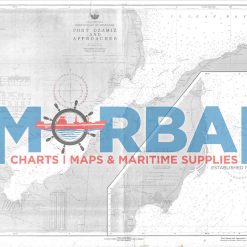
- Chart 4640 – Port Ozamiz and Approaches is a nautical chart providing essential depth data, coastal features, navigation hazards, and aids to navigation for safe entry and navigation at Ozamiz City Port and its surrounding waters.
- Add to cart
-
-
-
-
-
- Philippine Charts
-
₱400.00
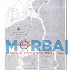
- Chart 4647 – Agusan River Entrance (Nasipit Harbour) is a nautical chart providing essential depth data, navigation hazards, and harbour details to support safe entry and navigation at the Agusan River and Nasipit Harbour.
- Add to cart
-
-
Out of Stock
- Philippine Charts
-
₱800.00
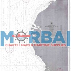
- Chart 4648 – Jasaan to Villanueva is a nautical chart providing essential depth data, coastal features, navigation hazards, and aids to navigation for safe coastal travel between Jasaan and Villanueva.
- Read more
-
-
- Philippine Charts
-
₱400.00
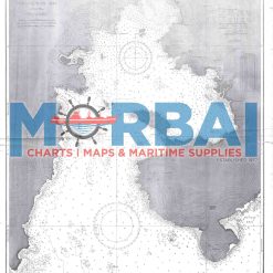
- Chart 4649 – Villanueva to Bugo is a nautical chart providing essential depth data, coastal features, navigation hazards, and aids to navigation for safe coastal navigation between Villanueva and Bugo.
- Add to cart
-
-
- Philippine Charts
-
₱400.00
- Chart 4650 – Dumaguilas Bay is a nautical chart providing essential depth data, coastal features, navigation hazards, and aids to navigation for safe navigation and anchorage within Dumaguilas Bay
- Add to cart
-
-
- Philippine Charts
-
₱400.00
- Chart 4651 South and West Coast of Mindanao – shows harbour locations and coastal navigation details. Features: depths, harbours, hazards, and navigation aids.Purpose: supports safe harbour entry and coastal navigation.Use: for vessels operating along the south and west coasts of Mindanao.
- Add to cart
-
-
- Philippine Charts
-
₱400.00
- Chart 4652 – Harbours in Illana Bay and Vicinity is a nautical chart providing essential depth data, navigation hazards, coastal features, and harbour details to support safe navigation and anchorage within Illana Bay, Mindanao.
- Add to cart
-
-
- Philippine Charts
-
₱400.00
- Chart 4653 South Coast of Mindanao - shows harbours and coastal navigation details along the southern Mindanao coast. Features: depths, harbour areas, hazards, and navigation aids.Purpose: supports safe harbour entry and coastal navigation.Use: for vessels operating along the south coast of Mindanao.
- Add to cart