
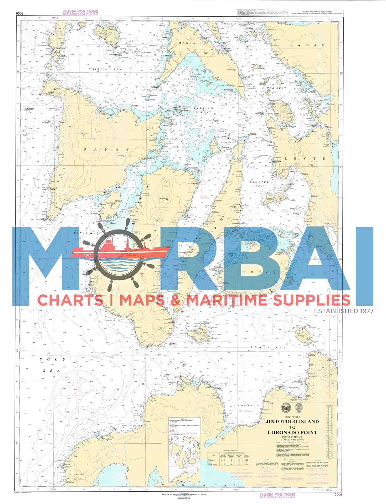
5006 Jintotolo Island to Coronado Point
₱2,000.00
Chart 5006 – Jintotolo Island to Coronado Point is a nautical chart showing depths, hazards, and navigation features along the route between Jintotolo Island and Coronado Point, supporting safe coastal navigation in the Philippines.
Description
Chart 5006 – Jintotolo Island to Coronado Point is an official nautical chart that provides detailed hydrographic and navigational information for the coastal waters between Jintotolo Island and Coronado Point in the Philippines. It is used to support safe coastal navigation through this busy and geographically complex sea route.
Features:
Coastal Route Coverage: Displays navigation routes between major island passages
Depth Information: Includes soundings, depth contours, and seabed details
Hazard Identification: Marks reefs, shoals, currents, and other navigational dangers
Aids to Navigation: Shows buoys, beacons, lighthouses, and coastal markers
Geographic Reference: Provides coordinates, bearings, and distance measurements
Purpose:
To support safe coastal and inter-island navigation
To assist in voyage planning through the Masbate and Mindoro sea routes
To provide accurate hydrographic data for passage planning
Applications:
Used by mariners, fishing vessels, and commercial ships navigating central Philippine waters between major island groups.
Summary:
Chart 5006 is a key coastal navigation reference covering the passage from Jintotolo Island to Coronado Point, supporting safe and efficient maritime travel through central Philippine waters.


Reviews
There are no reviews yet.