
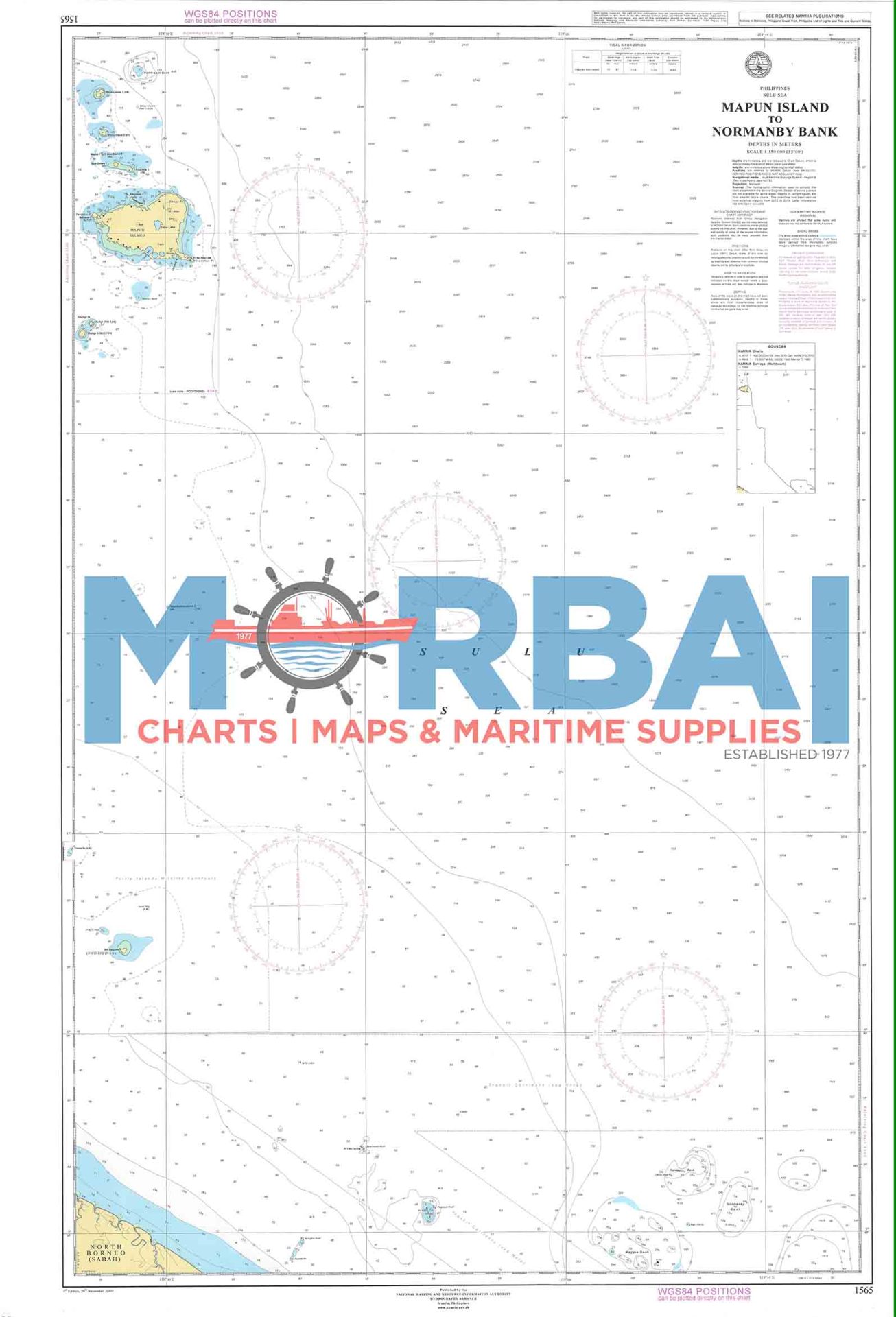
1565 Mapun Island to Normanby Bank
₱2,000.00
Chart No. 1565 – Mapun Island to Normanby Bank is a nautical chart providing essential navigation data, including depths, reefs, and hazards, for safe passage between Mapun Island and Normanby Bank.
Description
Chart No. 1565 – Mapun Island to Normanby Bank is a detailed nautical chart designed for safe navigation in the southern maritime waters of the Philippines.
Covering the area from Mapun Island to Normanby Bank, this chart provides essential hydrographic information such as depth soundings, seabed contours, reefs, shoals, and other navigational hazards. It is especially useful for vessels operating in the Sulu Sea region, where complex underwater features require precise route planning.
Ideal for mariners, ship operators, and maritime professionals, this chart ensures accurate navigation and enhanced safety in offshore and inter-island waters.
Key Features:
Accurate bathymetric and depth data
Clearly marked reefs, shoals, and hazards
Coverage of offshore and island waters
Suitable for navigation and voyage planning


Reviews
There are no reviews yet.