
1522 Lambajon Point to Cape San Agustin
₱2,000.00
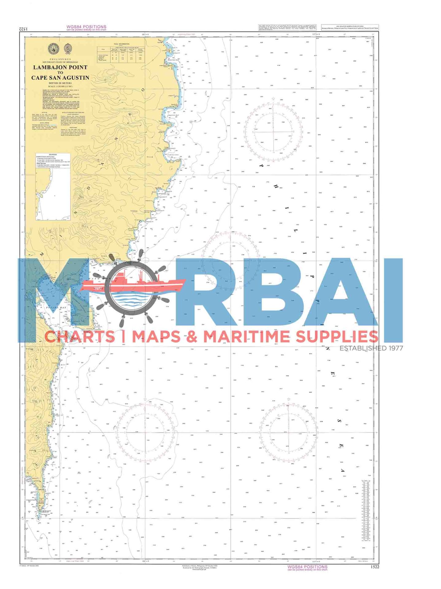
1522 – Lambajon Point to Cape San Agustin is a nautical chart providing hydrographic information for safe navigation along the southeastern coast of Mindanao between Lambajon Point and Cape San Agustin.
It includes depth soundings, coastal features, and navigational hazards to support safe and efficient coastal passage.
Description
1522 – Lambajon Point to Cape San Agustin is a detailed nautical chart designed to support safe navigation along the southeastern coastline of Mindanao, between Lambajon Point and Cape San Agustin.
This chart provides accurate hydrographic information, including depth soundings, coastal configurations, offshore features, and navigational hazards along this exposed coastal route. It covers part of the rugged eastern seaboard facing the Philippine Sea, an area commonly affected by open-ocean conditions and limited shelter.
Engineered for precision and clarity, Chart 1522 supports efficient voyage planning, safe coastal passage, and improved situational awareness for vessels operating in this remote and weather-exposed maritime region.
Key Features:
Detailed coastal route coverage in southeastern Mindanao
Accurate depth and bathymetric data
Identification of reefs, shoals, and offshore hazards
Coastal landmarks and shoreline reference points
Ideal for coastal navigation and offshore transit operations


Reviews
There are no reviews yet.