
4255A Corregidor and Caballo Island
₱2,000.00
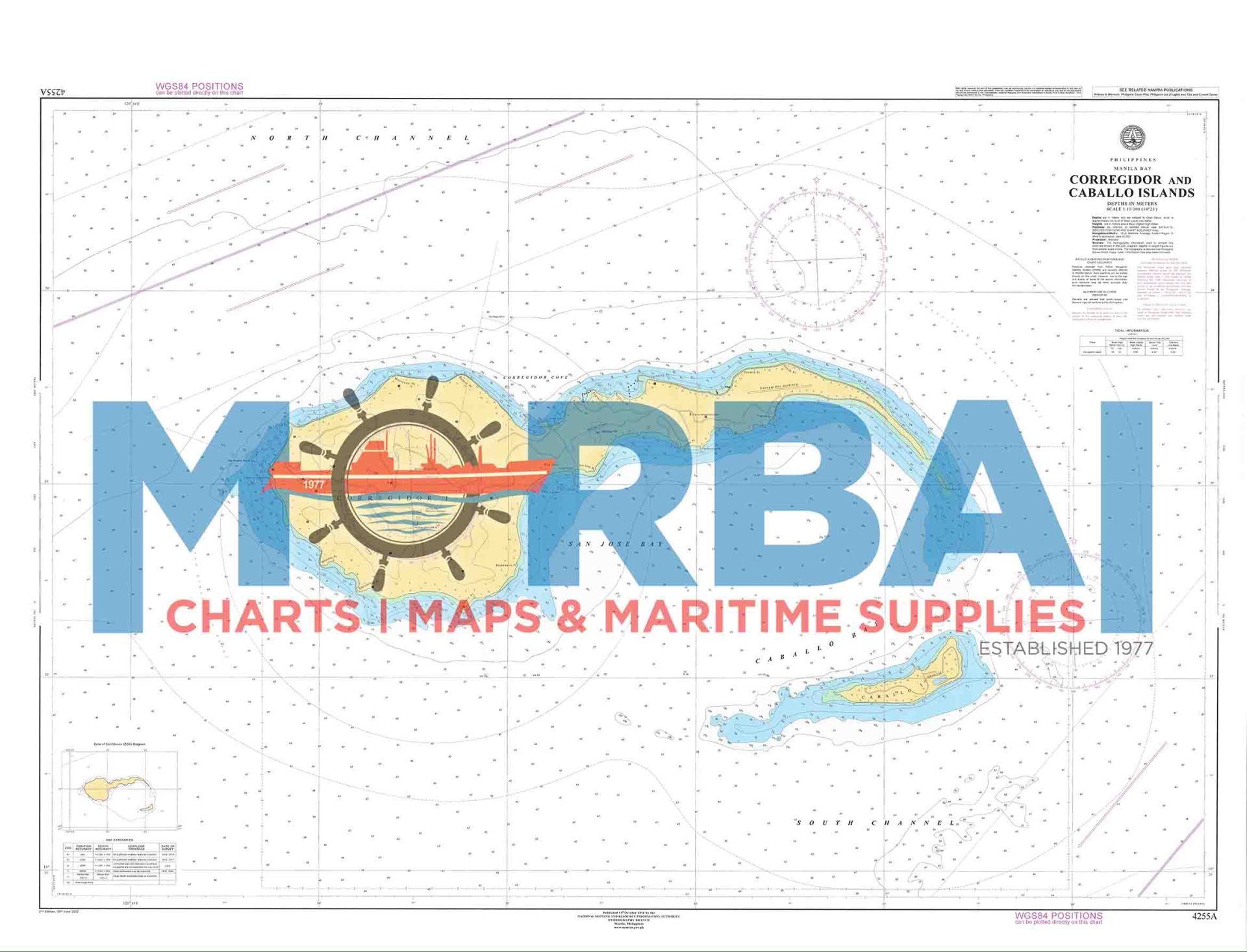
A nautical chart of the waters around Corregidor and Caballo Islands at the entrance of Manila Bay, providing essential depth data and navigational information for safe passage.
Description
Chart 4255A – Corregidor and Caballo Island is a nautical chart designed to support safe navigation in the strategic entrance of Manila Bay, covering the waters surrounding Corregidor Island and Caballo Island.
This chart provides detailed hydrographic information, including depth soundings, bathymetric contours, shoreline configurations, and the identification of reefs, shoals, and other navigational hazards. The area is historically and operationally significant, serving as a key maritime gateway with strong tidal currents and active vessel traffic entering and leaving Manila Bay.
Engineered for precision and clarity, Chart 4255A enhances situational awareness and supports safe and efficient navigation for commercial shipping, naval operations, and inter-island transit.
Key Features:
Detailed coverage of the entrance to Manila Bay
Accurate depth soundings and bathymetric data
Identification of reefs, shoals, and navigational hazards
Coastal landmarks and shoreline reference points
Suitable for commercial, naval, and coastal navigation



Reviews
There are no reviews yet.