
4282 Casiguran Bay
₱2,000.00
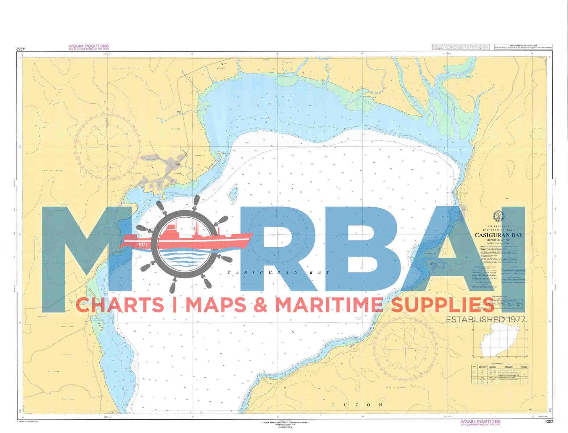
Chart 4282 – Casiguran Bay covers the coastal waters of Casiguran Bay in Aurora.
This nautical chart provides essential hydrographic information for safe coastal navigation, including depth soundings, shoreline features, and navigational hazards within the bay area.
Description
Chart 4282 – Casiguran Bay covers the coastal waters and approaches of Casiguran Bay in Aurora.
This nautical chart is designed to support safe coastal navigation and operational awareness in the bay area. It provides essential hydrographic information for vessel movement, including approaches and nearshore transit.
The chart includes depth soundings, shoreline features, bathymetric contours, and navigational hazards relevant to local waters.
Key Features:
Coverage of Casiguran Bay and surrounding coastal waters
Depth soundings and bathymetric contours
Identification of reefs, shoals, and hazards
Shoreline configuration and reference points
Suitable for coastal navigation and local maritime operations



Reviews
There are no reviews yet.