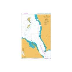
-

- British Admiralty Charts
British Admiralty Nautical Chart 1917 Baltic Sea – Russia (Povorot Komsomol’skiy to Povort Izhevskiy) is corrected up to date. Admiralty standard nautical charts comply with Safety of Life at Sea (SOLAS) regulations and are ideal for professional, commercial and recreational use. Charts within the series consist of a range of scales, useful for passage planning, ocean crossings, coastal navigation and entering port. Mariners should always use the largest scale nautical chart appropriate to their needs. In particularly busy seaways such as the English Channel, Gulf of Suez and the Malacca and Singapore Straits, the standard nautical charts are supplemented by mariners routeing guides which provide advice on route planning in these complex areas.
- ₱3,500.00
- Add to cart
-
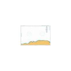
- British Admiralty Charts
British Admiralty Nautical Chart 1922 Simon`s Bay
- ₱3,500.00
- Reference: BA1922
- Add to cart
-
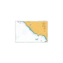
- British Admiralty Charts
British Admiralty Nautical Chart 1928 Cabo Mala to Punta Burica
- ₱3,500.00
- ***Canceled and replaced by BA Chart 2496
- Add to cart
-
- British Admiralty Charts
British Admiralty Nautical Chart 193: Islands in the Sicilian Channel
- ₱3,000.00
- Media Paper SKU BA193 Publisher United Kingdom Hydrographic Office UPC 8.52687E+11 Edition Date Apr 25, 2013 Published 26 January 1990 Scale 1:
- Add to cart
-
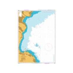
- British Admiralty Charts
British Admiralty Nautical Chart 1931 Golfo de Nicoya
- ₱3,500.00
- ***Canceled and replaced by BA Chart 2497
- Add to cart