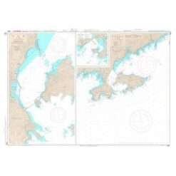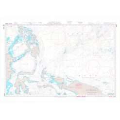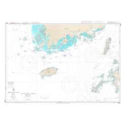
Japanese Charts
Japanese Charts (JP)
Japanese charts are produced by the Japanese Coast Guard (JCG) and distributed by the Japan Hydrographic Association to its chart agents like MORBAI. Japanese charts cover Japanese coastal waters, Pacific and Indian Ocean regions. Selected Japanese charts are also available in English. Japanese charts are updated by the weekly Japanese Notices to Mariners.
- Overview
- Chart Prefixes Available:
- They are mainly constructed on Mercator's projection, and most of those charts covering the waters around Japan at a scale smaller than 1:100,000 are compiled at the scale based on the length of the longitude at Lat. 35 degrees.
- WGS Charts – the World Geodetic System 84 (WGS-84) charts
- JP Charts – the charts in English and on WGS-84 published in the same area and size of the W series
Featured Products
-
- Out of Stock
- Japanese Charts
Japanese Chart W90 Tokyo Wan
- ₱2,100.00
-
-
- Out of Stock
- Japanese Charts
Japanese Chart W91 Yokosuka Ko Uraga and Kurihama
- ₱2,100.00
-
-
- Out of Stock
- Japanese Charts
Japanese Chart W92 Misaki Ko to Shonan Ko
- ₱2,100.00
-
-
- Out of Stock
- Japanese Charts
JApanese Chart W94 Yokkaichi Ko
- ₱2,100.00
-
-
- Out of Stock
- Japanese Charts
Japanese Chart W95 Northern Part of Ise Wan
- ₱2,100.00
-
-
- Out of Stock
- Japanese Charts
Japanese Chart W96 Shimoda Ko and Approaches
- ₱2,100.00
-
-
- Out of Stock
- Japanese Charts
Japanese Chart W97 Yura Ko and Hii Wan
- ₱2,100.00
-
-

- Out of Stock

- Japanese Charts
Japanese Chart W98 Tagonoura Ko
- ₱2,100.00
-
-
- Out of Stock
- Japanese Charts
Japanese Chart W99 Approaches to Kushimoto Ko, Susami Gyoko
- ₱2,100.00
-