
Ports and Harbor Charts (Philippine Index Charts)
₱1,600.00
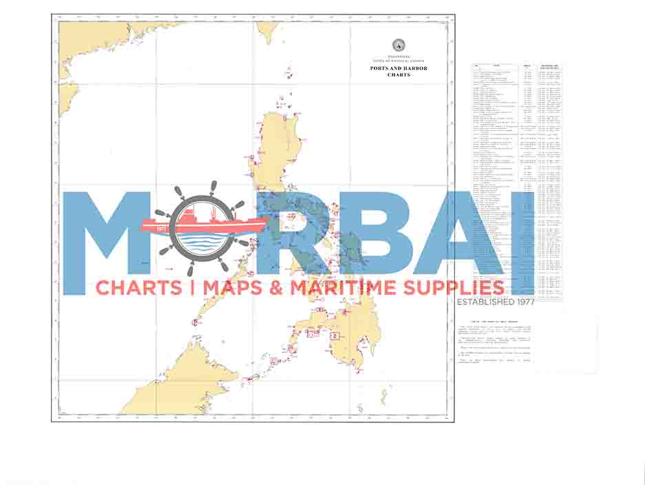
Ports and Harbor Charts are index charts published by the National Mapping and Resource Information Authority that provide an overview of the major ports and harbors in the Philippines.
They serve as a guide to detailed harbor and port charts, showing the locations and coverage of specific nautical charts used for navigating within ports, anchorages, and sheltered waters.
Description
Ports and Harbor Charts (Philippine Index Charts) are official nautical reference charts that show the locations and coverage of detailed harbor and port charts in the Philippines.
Description:
Type: Index chart for port and harbor navigation charts
Coverage: Major and minor ports, harbors, anchorages, and coastal terminals across the Philippines
Purpose:
Helps mariners identify the correct detailed harbor chart for a specific port
Supports port entry, docking, and anchorage planning
Used for safe navigation in confined or busy harbor waters
Content includes:
Port locations and chart numbers
Harbor boundaries and approach areas
Navigation reference points for port access
Key feature:
It serves as a guide or index, not a detailed navigation chart, helping users find the exact harbor chart needed for safe port operations.



Reviews
There are no reviews yet.