
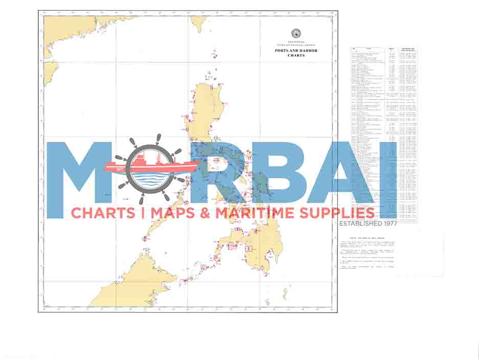
COASTAL CHARTS (Philippine Index Chart)
₱1,600.00
Coastal Charts, also known as Philippine Index Charts, are a series of nautical charts published by the National Mapping and Resource Information Authority covering the coastal waters of the Philippines.
They provide a general overview of coastlines and chart coverage areas, showing the extent and index layout of detailed nautical charts used for navigation along different parts of the Philippine archipelago.
Description
Coastal Charts (Philippine Index Chart) are official nautical charts used for coastal navigation around the Philippines. They provide an index or overview of all detailed coastal charts covering the Philippine archipelago.
Description:
Type: Index and reference nautical chart
Coverage: Entire Philippine coastline and surrounding waters
Purpose:
Helps mariners locate the correct detailed charts for a specific area
Used for voyage planning and chart selection
Provides an overview of chart coverage across regions (Luzon, Visayas, Mindanao)
Content includes:
Chart numbers and boundaries
Coastal zones and navigation coverage areas
Reference points for switching between charts during a voyage


Reviews
There are no reviews yet.