
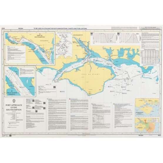
British Admiralty Nautical Chart 8025 Port Approach Guide – Cape Town
₱3,900.00
Description
British Admiralty Nautical Chart 8025 Port Approach Guide – Cape Town
Each chart in this expanding range focuses on a single port, and contains extra, relevant planning information for the port approach.
Quick reference
Linking the International Code of Signals (ICS) flags with related reference sections on the chart helps bridge crews to quickly find information they need.
Easy to use
Designed to be used alongside either official paper or digital nautical charts, they help to make the planning of port entry and exit quicker and easier, and aid the berth to berth planning process.
Extra information to aid planning
Additional planning information may include general information including contact details and harbour regulations, Vessel Traffic Service (VTS) information, principal lights and landmarks, specific warnings, tide and climate information, anchorages and prohibited areas, dangerous cargo, pilotage, berth information and port service.
Chart 8025
Main Chart Details
- Chart Title: Port Approach Guide – Cape Town
- Publication Date: 07/05/2015
- Latest Edition date: 07/05/2015
- Chart Size: 1020 x 650 (mm)
Chart Panel Details
- Panel Name Port Approach Guide – Cape Town
- Area Name Republic of South Africa
- Natural Scale 15000
- North Limit 33° 50′.22S
- East Limit 18° 31′.23E
- South Limit 33° 55′.00S
- West Limit 18° 21′.30E


Reviews
There are no reviews yet.