
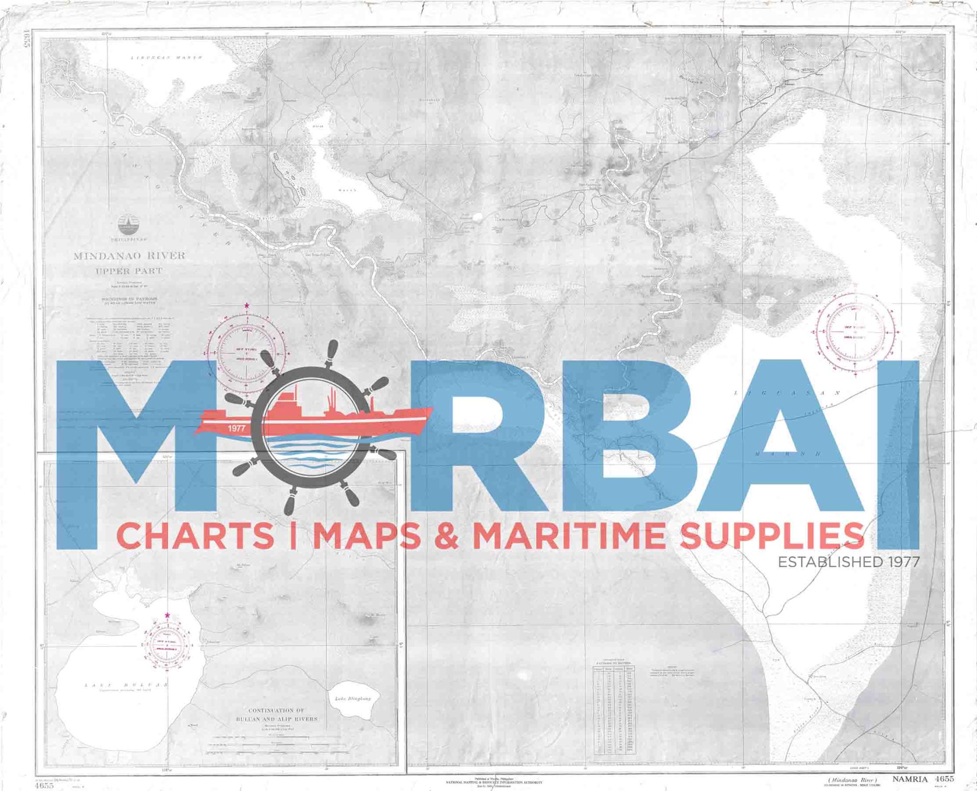
4655 Mindanao River, Upper Part Continuation of Bulusan and Alip Rivers
₱400.00
Chart 4655 Mindanao River – shows river channels and navigation details in the upper part of the river system.
Features: depths, channels, hazards, and river conditions.
Purpose: supports safe inland river navigation.
Use: for boats operating in the upper Mindanao River and tributaries.
Description
Mindanao River – Chart 4655 – Upper Part (Continuation of Bulusan and Alip Rivers) is an official nautical chart that provides detailed hydrographic and navigational information for the upper reaches of the Mindanao River system, including the Bulusan and Alip River sections.
Features:
River Coverage: Shows river channels, bends, tributaries, and surrounding riverbank features
Depth Data: Includes soundings, depth variations, and riverbed conditions for safe passage
Navigation Hazards: Identifies shallow areas, sandbars, fallen debris, and shifting channels
Aids to Navigation: Marks beacons, reference points, and local navigational aids where available
Geographic Positioning: Provides coordinates, bearings, and reference markers for river navigation
Purpose:
To support safe inland river navigation in the upper Mindanao River system
To assist mariners in transit planning through narrow and shifting river channels
To provide reliable hydrographic data for local transport and operations
Applications:
Used by small cargo vessels, local transport boats, and river operators navigating inland waterways
Summary:
Chart 4655 provides essential navigation information for the upper Mindanao River and its tributaries, supporting safe inland waterway travel.



Reviews
There are no reviews yet.