
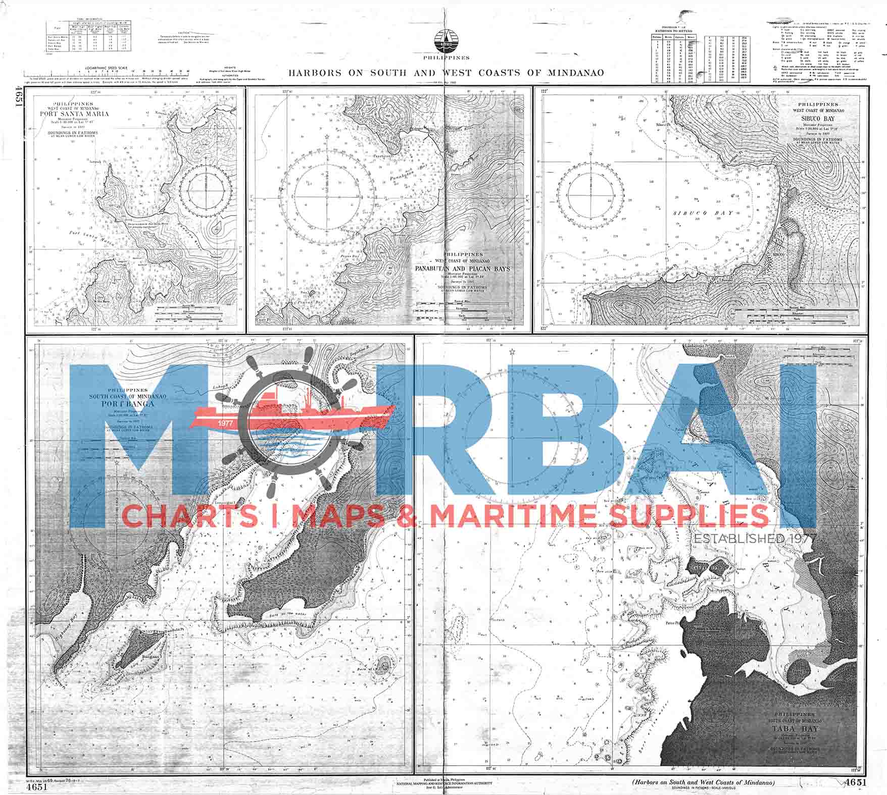
4651 Harbours on the South and West Coast of Mindanao
₱400.00
Chart 4651 South and West Coast of Mindanao – shows harbour locations and coastal navigation details.
Features: depths, harbours, hazards, and navigation aids.
Purpose: supports safe harbour entry and coastal navigation.
Use: for vessels operating along the south and west coasts of Mindanao.
Description
South and West Coast of Mindanao – Chart 4651 – Harbours on the South and West Coast of Mindanao is an official nautical chart that provides detailed hydrographic and navigational information for key harbours along the southern and western coasts of Mindanao.
Features:
Coastal Coverage: Shows harbour locations, shoreline features, approaches, and coastal waters along the south and west coasts
Depth Data: Includes soundings, depth contours, and seabed characteristics for safe navigation and anchorage
Navigation Hazards: Identifies reefs, shoals, sandbars, and other coastal dangers
Aids to Navigation: Marks lighthouses, buoys, beacons, and other navigational aids
Geographic Positioning: Provides coordinates, bearings, and reference points for route planning
Purpose:
To support safe harbour entry and coastal navigation along southern and western Mindanao
To assist mariners in anchorage selection and voyage planning
To provide reliable hydrographic data for maritime operations
Applications:
Used by commercial vessels, fishing boats, and coastal shipping along Mindanao’s south and west coasts
Summary:
Chart 4651 provides essential navigation information for harbours on the south and west coast of Mindanao, supporting safe and efficient maritime travel.


Reviews
There are no reviews yet.